What is recorded here
Yes. An earthen ringfort in County Monaghan, Ireland. A subcircular grass-covered area, thirty to thirty-five metres across, marked by a broad bank and outer ditch on a drumlin ridge. It appeared on McCrea’s map in 1793 and remained visible enough to draw decades later. Trees grow inside now, softening the line of the bank, but the ridge still carries the shape of a place set apart for living, keeping or remembering.
Situated on the E-facing spine of a WNW-ESE drumlin ridge. This rath is depicted on McCrea’s map of County Monaghan (1793) and on the 1834 and 1907 editions of the OS 6-inch map. It is a subcircular grass-covered area (dims 35m N-S: 30m E-W) planted with deciduous trees which is defined by an earthen bank (Wth 6.4-7.6m; int. H 0.6-1m; ext. H 2.5-3m) and an outer fosse (Wth of top 9m; Wth of base 1m; D 2m) WNW-NE (upslope) and SE-S (Wth of top 6m; Wth of base 2.6m; D 0.4m). There is an outer bank (at NW: Wth of base 8m; Wth of top 3.4m; ext. H 1m) WNW-NNE with a stone-faced field bank on top of it that surrounds the whole monument, incorporating the outer face of the inner bank ESE-S. The original entrance is probably that (Wth of base c. 2m) with traces of an outer causeway (Wth of top c. 2m; H 0.4m) at SSE. The rath was circumvented by a WNW-ESE lane S-NW as recorded on McCrea’s map and the 1834 OS 6-inch map but there is no evidence of this now.
The above description is derived from the published 'Archaeological Inventory of County Monaghan' (Dublin: Stationery Office, 1986). In certain instances the entries have been revised and updated in the light of recent research.
Compiled by: Michael Moore
Date of revision: 27 July 2018
The monument record does not grant public access. Check the route and ask the landowner before entering private land.
- What survives
- Recorded monument
Places near here
 Thornford Housestore/warehouse · 309 yd
 Mullaghanee fortFairy fort / earthen ringfort · 1061 yd
 Fairy fort / earthen ringfort in AghadreenanFairy fort / earthen ringfort · 1063 yd
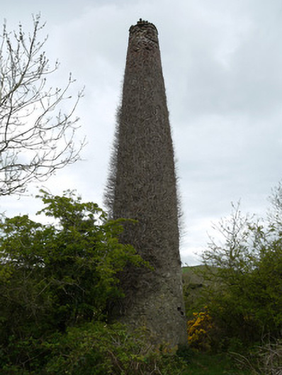 chimneychimney · 1281 yd
 Fincarn HillMountain / peak · 1642 yd
 Whites IslandIslet · 1.8 mi
 KnockreaghMountain / peak · 2.2 mi
 Otter Island (South)Islet · 2.5 mi
 Lough MucknoLake and park landscape · 2.8 mi
 Bawn in OnomyBawn · 2.8 mi
 Blaney CastleCastle · 2.8 mi
 Big Tom Memorial StatueMemorial · 3.0 mi