What is recorded here
Located on the most westerly summit of three on a NW-SE drumlin ridge. This is a subcircular grass-covered area (dims 46m N-S; 37m E-W) defined by an earthen bank separated by a fosse from an outer overgrown bank, which is incorporated into a field bank NE-S. There are many gaps in both banks but the original entrance through the inner (Wth of base 2.4m) bank and a causeway (Wth of top c. 4m; H 0.4m) are at E. There is a circular hut-site (diam. 7-8m) defined by an earthen bank (Wth 1.5m; H 0.3m) at the centre but an entrance to it is not identified.
The above description is derived from the published 'Archaeological Inventory of County Monaghan' (Dublin: Stationery Office, 1986). In certain instances the entries have been revised and updated in the light of recent research.
Revised by: Michael Moore
Date of revision: 9 May 2018
The monument record does not grant public access. Check the route and ask the landowner before entering private land.
- What survives
- Recorded monument
Places near here
 Hut site in Drumguillew UpperHut site · 4 yd
 Grave YardBurial ground · 900 yd
 mill (water)mill (water) · 1.7 mi
 IllanshivansIslet · 2.0 mi
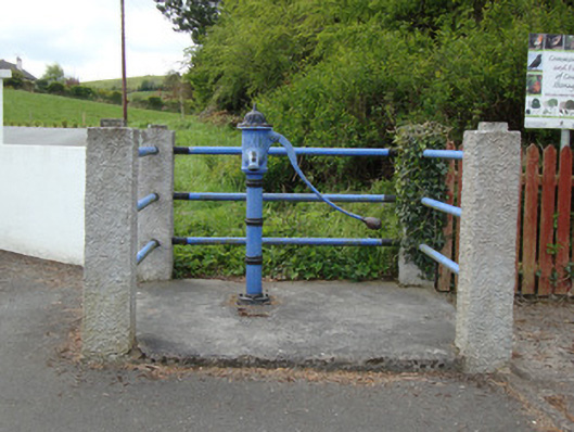 water pumpwater pump · 2.1 mi
 Lough Egish IslandIslet · 2.1 mi
 Monaghan WayWalking route · 2.5 mi
 Fort HillWood · 2.9 mi
 The CrescentMemorial · 3.1 mi
 Laragh WoodForest · 3.2 mi
 Fincarn HillMountain / peak · 3.5 mi
 Bawn in OnomyBawn · 3.6 mi