What is recorded here
No visible castle wall, no church tower, no named owner in the supplied facts. The measureable form is a circular earthwork about twenty-four metres across inside the bank, with a low central mound and part of a ditch still distinguishable. That much can be walked and seen without inventing a date or a person.
Raised circular area (int. diam. 24.1m) enclosed by an earthen bank modified and incorporated into the field boundary from S-WNW, and the remains of a fosse. A low earthen mound of unknown significance occurs at the centre of the interior.
The above description is derived from the published 'Archaeological Inventory of County Cavan' (Dublin: Stationery Office, 1995). In certain instances the entries have been revised and updated in the light of recent research.
Date of upload/revision: 22 December 2008
The monument record does not grant public access. Check the route and ask the landowner before entering private land.
- What survives
- Recorded monument
Places near here
 Giant's GraveArchaeological place · 993 yd
 Cormeen Glebe ForestForest · 1238 yd
 IndicatedFairy fort / earthen ringfort · 1.2 mi
 St Bridget's Roman Catholic Churchchurch/chapel · 1.3 mi
 Foundation Stone Blessed by Pope John Paul II 1979Memorial · 1.3 mi
 Tullyunshin South ForestForest · 1.3 mi
 Enclosure in KilnagarbetEnclosure · 1.4 mi
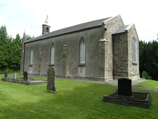 St Mark's Church of Ireland Churchchurch/chapel · 1.4 mi
 CarrickallenMountain / peak · 2.0 mi
 CliffernaMountain / peak · 2.7 mi
 Site of Old CastleCastle, unclassified · 4.1 mi
 Raven's RockNamed rock · 4.8 mi