What is recorded here
Marianne and her brother ran the fort at Drumgoney, leasing it to the Crown while keeping its defensible ring intact. They treated the land as a living instrument, adjusting its edges and uses as the pressures of the world changed. The fort did not belong to a dead kingdom. It belonged to the people still strong enough to understand it.
Raised circular area (int. dims. 41.5m ENE-WSW; 39.5m NNW-SSE) enclosed by a substantial earthen bank and a fosse which is well preserved except from NW-NNE where it is shallow and appears modern. Original entrance not recognisable. Internal area densely overgrown with vegetation.
The above description is derived from the published 'Archaeological Inventory of County Cavan' (Dublin: Stationery Office, 1995). In certain instances the entries have been revised and updated in the light of recent research.
Date of upload/revision: 22 December 2008
The monument record does not grant public access. Check the route and ask the landowner before entering private land.
- What survives
- Recorded monument
Places near here
 Giant's GraveArchaeological place · 640 yd
 Cormeen Glebe ForestForest · 1588 yd
 IndicatedFairy fort / earthen ringfort · 1.1 mi
 Enclosure in KilnagarbetEnclosure · 1.3 mi
 St Bridget's Roman Catholic Churchchurch/chapel · 1.3 mi
 Foundation Stone Blessed by Pope John Paul II 1979Memorial · 1.4 mi
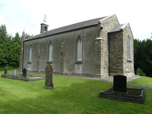 St Mark's Church of Ireland Churchchurch/chapel · 1.4 mi
 Tullyunshin South ForestForest · 1.5 mi
 CarrickallenMountain / peak · 2.1 mi
 CliffernaMountain / peak · 2.9 mi
 Site of Old CastleCastle, unclassified · 3.9 mi
 Bawn in DrumsheilBawn · 4.7 mi