What is recorded here
Drumgesh held a circular earthen fort twenty metres across until men levelled it in the late 1940s. It vanished so completely that no trace remains at ground level, erasing the life once lived inside its ring.
Levelled in the late 1940s. Marked 'Fort' on OS 1836 and 1876 eds. An earlier report (OPW 1969) recorded the outline of the site as being circular (int. diam. c. 20m E-W). Not visible at ground level.
The above description is derived from the published 'Archaeological Inventory of County Cavan' (Dublin: Stationery Office, 1995). In certain instances the entries have been revised and updated in the light of recent research.
Date of upload/revision: 22 December 2008
A fairy fort or earthen ringfort in Drumgesh, likely dating to the early medieval period, was levelled in the late 1940s. It was marked as a 'Fort' on early Ordnance Survey maps and is associated with local folklore regarding fairy dwellings, common in Irish tradition.
The monument record does not grant public access. Check the route and ask the landowner before entering private land.
- What survives
- Recorded monument
Places near here
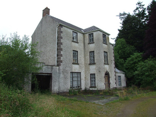 Griffith Lodgehouse · 435 yd
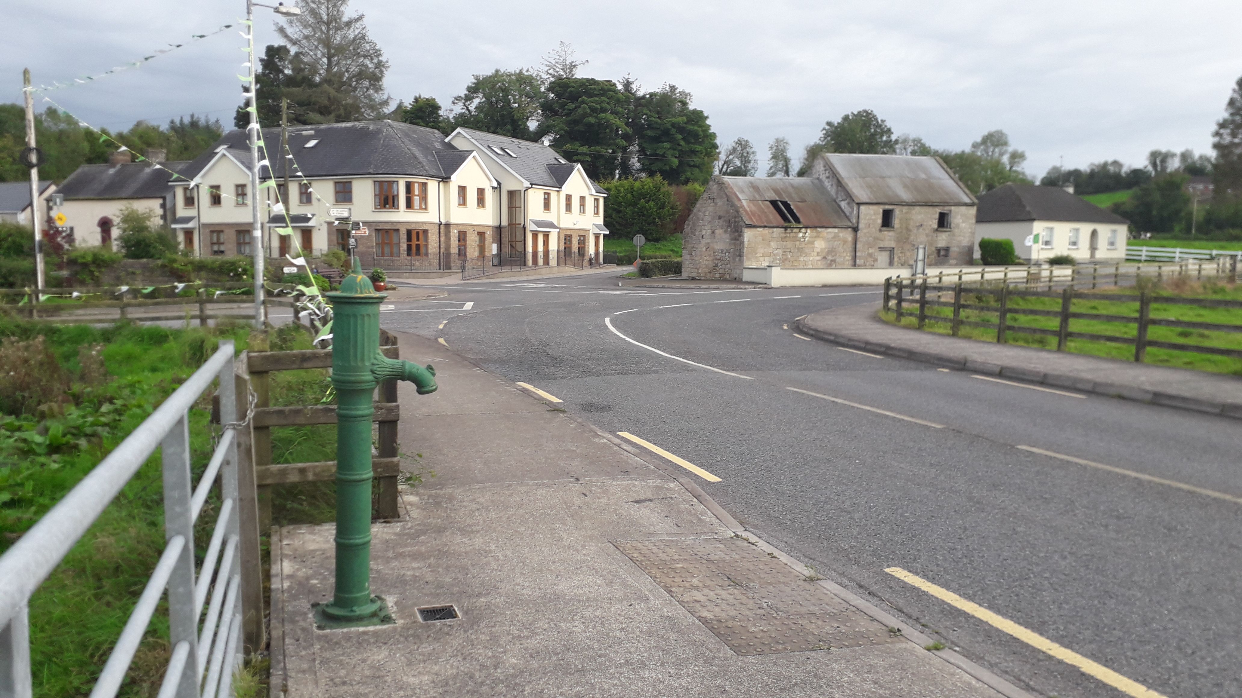 Milltown NorthWood · 1051 yd
 Saint Patrick's Catholic Churchchurch/chapel · 1215 yd
 Drumlane AbbeyHeritage attraction · 1459 yd
 Abbey in RuinsEcclesiastical residence · 1522 yd
 IndicatedFairy fort / earthen ringfort · 1.1 mi
 DerrybrickMountain / peak · 1.1 mi
 ArdanMountain / peak · 1.5 mi
 CastleCastle, unclassified · 1.6 mi
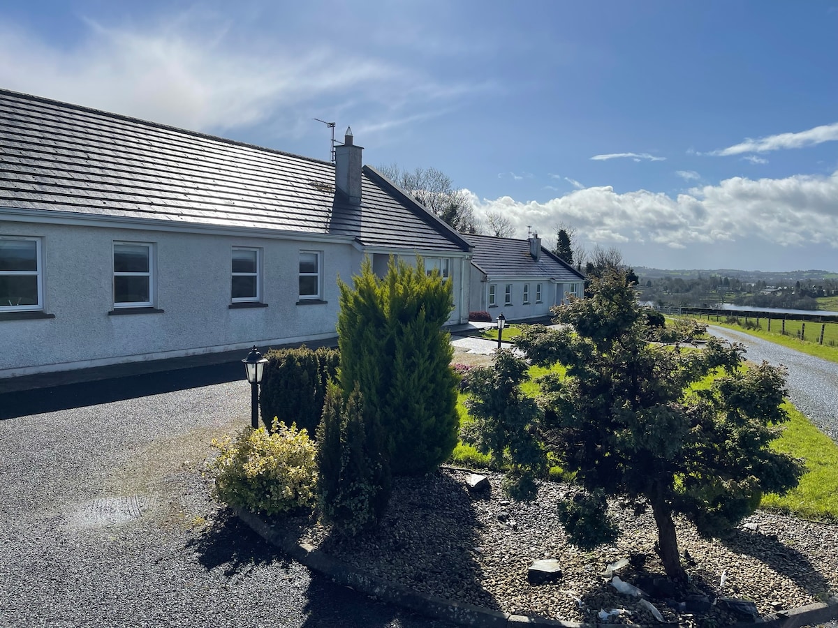 Cornadarragh ForestForest · 2.2 mi
 InishmuckIsland · 2.3 mi
 Turbet Island Castle Motte and BaileyArchaeological place · 3.0 mi