What is recorded here
Situated on the summit of a short NW-SE drumlin ridge. A circular enclosure is depicted here at Drumganus Upper on McCrea’s map of County Monaghan (1793), and an embanked circular enclosure (ext. diam. c. 35m) is depicted also on the 1834 edition of the OS 6-inch map where it is described as a 'fort' in gothic lettering. The area is now bisected by a NW-SE field bank and hedge but at the N end it changes direction to NNW-SSE. A small section of an earthen bank (L 2m; H 1m) projects W from the field bank at this point.
The above description is derived from the published 'Archaeological Inventory of County Monaghan' (Dublin: Stationery Office, 1986). In certain instances the entries have been revised and updated in the light of recent research.
Revised by: Claire Breen, Michael Moore
Date of revision: 27 February 2018
The monument record does not grant public access. Check the route and ask the landowner before entering private land.
- What survives
- Recorded monument
Places near here
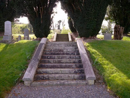 Holy Trinity Church (Donaghmoyne)church/chapel · 395 yd
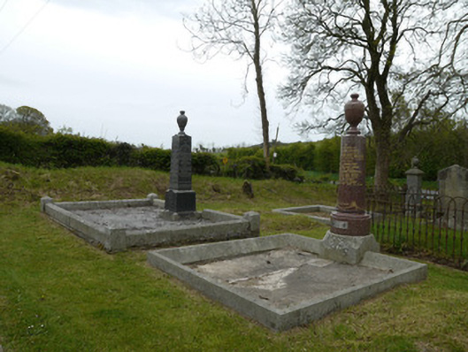 Broomfield Presbyterian ChurchGrave monument · 509 yd
 IndicatedFairy fort / earthen ringfort · 582 yd
 Embanked enclosureFairy fort / earthen ringfort · 798 yd
 KnockreaghMountain / peak · 1201 yd
 Fincarn HillMountain / peak · 2.1 mi
 Whites IslandIslet · 2.5 mi
 TobernagalliaghSpring · 3.1 mi
 Crane IslandIsland · 3.5 mi
 Mannan Castle (in ruins)Castle, Anglo-Norman masonry castle · 3.6 mi
 Lough MucknoLake and park landscape · 3.9 mi
 The Black Castle Chambered GraveArchaeological place · 4.1 mi