What is recorded here
Drumdreeny held a forty-five-metre earthen fort on a drumlin ridge in 1793, but human arrogance forgot the boundary and cut a field bank through the middle. The fairies never left. They simply stopped being visible to the man who believed he understood the shape of the ground.
Situated on the spine of a NW-SE drumlin ridge. This monument is marked as a circular enclosure on McCrea’s map of County Monaghan (1793). It is depicted as a large circular embanked enclosure (ext. diam. c. 45m) and described as a ‘fort’ in gothic lettering on the 1834 edition of the OS 6-inch map but it is not depicted on the 1907 edition. A NW-SE field bank bisects the location, but no archaeological feature is visible at ground level in pasture.
The above description is derived from the published 'Archaeological Inventory of County Monaghan' (Dublin: Stationery Office, 1986). In certain instances the entries have been revised and updated in the light of recent research.
Date of revision: 6 December 2017
The monument record does not grant public access. Check the route and ask the landowner before entering private land.
- What survives
- Recorded monument
Places near here
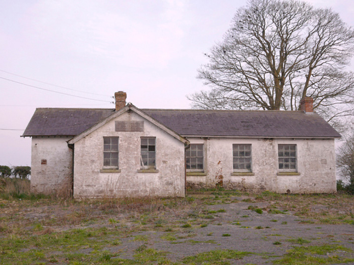 Scoil Náisiúnta Chorr Fuinnseogachschool · 723 yd
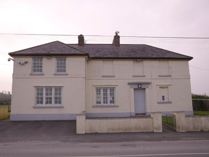 Corrinshigagh Garda Síochána Stationgarda station/constabulary barracks · 813 yd
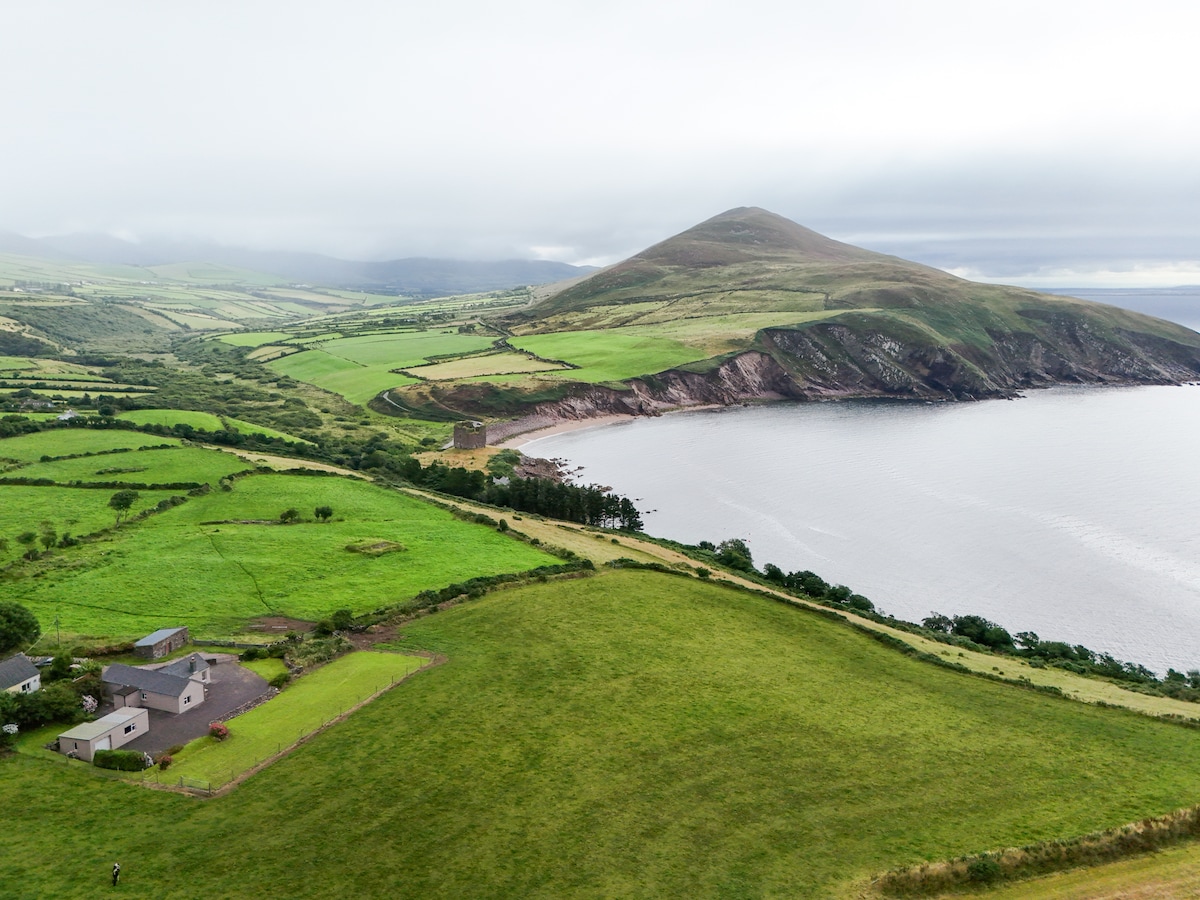 IndicatedFairy fort / earthen ringfort · 901 yd
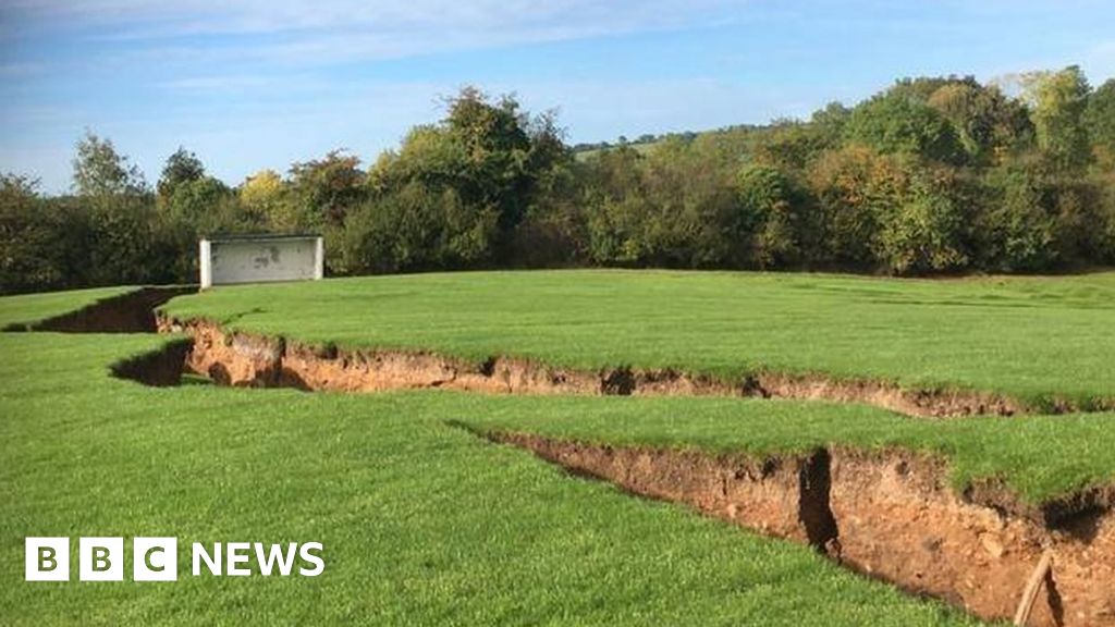 Man-made underground passage in CorcullioncrewMan-made underground passage · 1552 yd
 KnockreaghMountain / peak · 1.5 mi
 Mannan Castle (in ruins)Castle, Anglo-Norman masonry castle · 3.1 mi
 TobernagalliaghSpring · 3.4 mi
 Battle of Newry Roadbattle · 3.7 mi
 Fincarn HillMountain / peak · 4.0 mi
 Whites IslandIslet · 4.0 mi
 MEDIEVAL & POST-MED. CHURCH & GRAVEYARD in Creggan Bane GlebeMEDIEVAL & POST-MED. CHURCH & GRAVEYARD · 4.1 mi
 The Black Castle Chambered GraveArchaeological place · 4.1 mi