What is recorded here
Drumdreeny holds a circular earthen ring on the summit of a drumlin ridge, marked on McCrea’s map in 1793 and still visible beneath overgrowth. The bank rises fifteen centimetres externally in places but drops to a sharp scarp elsewhere, suggesting people once shaped the land before forgetting the entrance. It is not a palace or a temple, but a boundary drawn in soil, large enough to exclude most animals and small enough to force everyone inside to share the same sky.
Situated at the summit of the NW end of a NW-SE drumlin ridge. This rath is marked on McCrea’s map of County Monaghan (1793) and on subsequent OS maps. It is a circular overgrown area (diam. 32.5m NE-SW; 30m WNW-ESE) defined by an earthen bank (at SW: Wth 4m; int. H 0.4m; ext. H 1.5m), which is reduced to a scarp (Wth 4m; H 2.4m) NE-E, with a slight outer fosse or drain (Wth of base 1.4m; ext. D 0.6m) SE-W. The original entrance is not identified.
The above description is derived from the published 'Archaeological Inventory of County Monaghan' (Dublin: Stationery Office, 1986). In certain instances the entries have been revised and updated in the light of recent research.
Date of revision: 6 December 2017.
The monument record does not grant public access. Check the route and ask the landowner before entering private land.
- What survives
- Recorded monument
Places near here
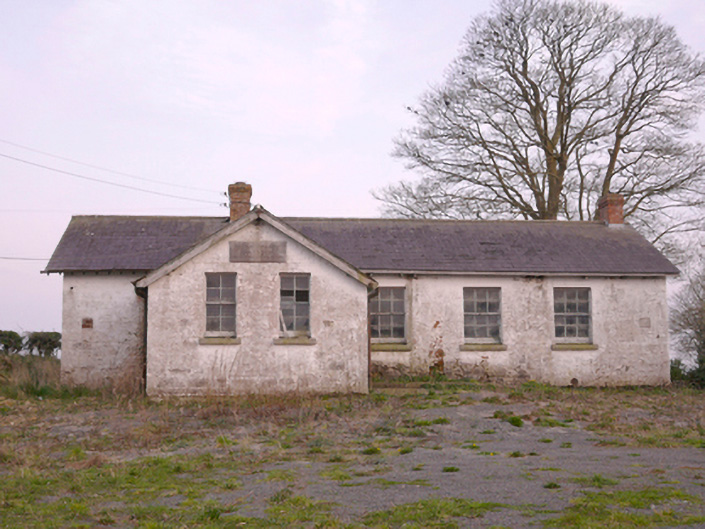 Scoil Náisiúnta Chorr Fuinnseogachschool · 602 yd
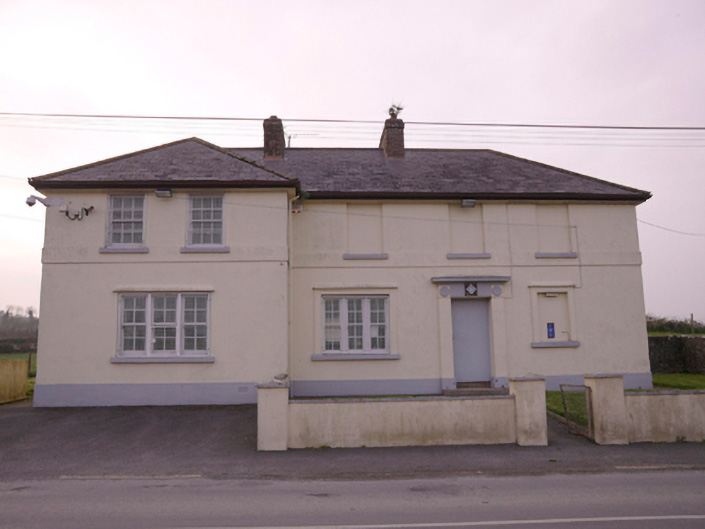 Corrinshigagh Garda Síochána Stationgarda station/constabulary barracks · 692 yd
 IndicatedFairy fort / earthen ringfort · 1136 yd
 Man-made underground passage in CorcullioncrewMan-made underground passage · 1442 yd
 KnockreaghMountain / peak · 1.3 mi
 Mannan Castle (in ruins)Castle, Anglo-Norman masonry castle · 3.1 mi
 TobernagalliaghSpring · 3.4 mi
 Battle of Newry Roadbattle · 3.7 mi
 Fincarn HillMountain / peak · 3.8 mi
 Whites IslandIslet · 3.9 mi
 The Black Castle Chambered GraveArchaeological place · 4.1 mi
 MEDIEVAL & POST-MED. CHURCH & GRAVEYARD in Creggan Bane GlebeMEDIEVAL & POST-MED. CHURCH & GRAVEYARD · 4.1 mi