What is recorded here
Fairy fort, a name given by local people to mark a boundary between the ordinary and the hidden, describes a ringfort where the earth itself seems to have drawn a circle around human life. The causeway at the east-northeast entrance suggests people walked through this place with purpose, perhaps carrying food, tools, or children to safety. The waterlogged fosse and substantial banks show that building here required cooperation, patience, and repeated labour across generations. Even when modified in recent times, the shape remains clear enough to imagine a small community living inside a defensible ring, watching the land beyond while believing the fort also watched them back.
Raised circular area (int. diam. 36.5m) enclosed by a substantial inner earthen bank, a wide, deep, waterlogged fosse and the remains of an outer earthen bank, all of which have been modified in recent times. Original entrance at ENE represented by break in inner bank accompanied by a causeway.
The above description is derived from the published 'Archaeological Inventory of County Cavan' (Dublin: Stationery Office, 1995). In certain instances the entries have been revised and updated in the light of recent research.
Date of upload/revision: 22 December 2008
The monument record does not grant public access. Check the route and ask the landowner before entering private land.
- What survives
- Recorded monument
Places near here
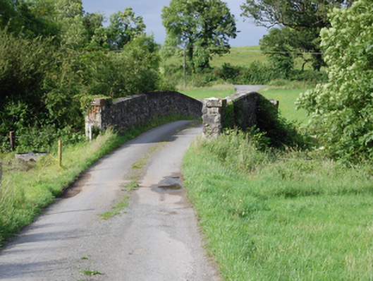 bridgebridge · 850 yd
 CorrMountain / peak · 1333 yd
 Holy WellHoly well · 1409 yd
 Grave YardEcclesiastical enclosure · 1420 yd
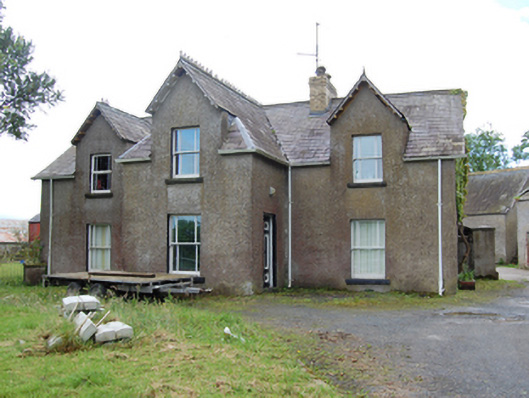 Tully Housecountry house · 1737 yd
 Drumgoon Bog WoodForest · 1.3 mi
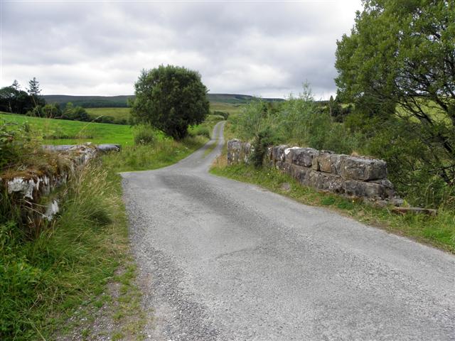 Derries UpperMountain / peak · 1.3 mi
 Cornafean GFCMemorial · 1.7 mi
 Trinity Island WoodForest · 1.9 mi
 Inch IslandIslet · 2.3 mi
 Killykeen Forest ParkForest · 2.5 mi
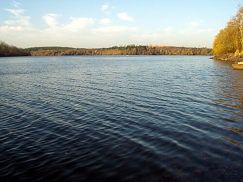 Lough OughterLake and island landscape · 2.6 mi