What is recorded here
One chamber, one door, one living edge. The fort is a round room with a cut moat and a causeway at the east, large enough for a small household but shaped like a fortress. The stream beside it and the hidden well below it suggest that people lived there, drank from it, and left the form behind.
Raised circular area (int. dims. 35.3m NNW-SSE; 32.4m ENE-WSW) enclosed by an earthen bank and a fosse which is best preserved from NNE-S-SSW. Bank with accompanying causeway at ESE represents original entrance. A stream flows immediately N of the site, and at S there is an infilled well.
The above description is derived from the published 'Archaeological Inventory of County Cavan' (Dublin: Stationery Office, 1995). In certain instances the entries have been revised and updated in the light of recent research.
Date of upload/revision: 22 December 2008
The monument record does not grant public access. Check the route and ask the landowner before entering private land.
- What survives
- Recorded monument
Places near here
 Ardvarny ForestForest · 346 yd
 Enclosure in Drumcrow (denn Ed)Enclosure · 566 yd
 Worm Ditch or Black Pigs RaceArchaeological place · 904 yd
 Ardkill MoreMountain / peak · 1623 yd
 Ardkill ForestForest · 1705 yd
 Carricknagore RockNamed rock · 1.6 mi
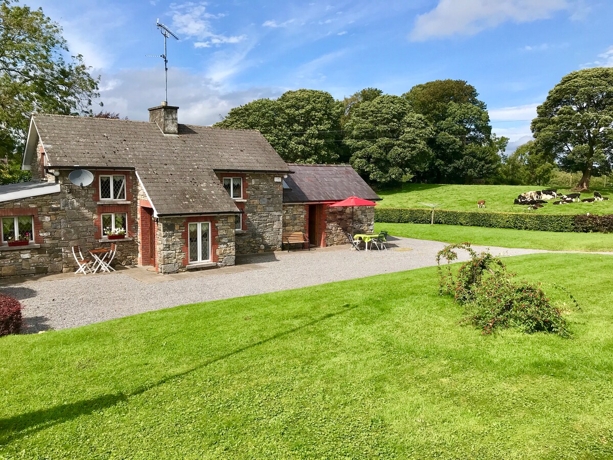 Dennmore or LeggandennMountain / peak · 1.6 mi
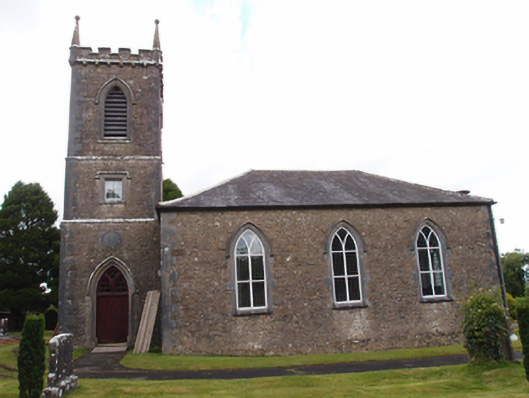 Denn Churchchurch/chapel · 1.7 mi
 Church in Cashel (clanmahon By.)Church · 1.8 mi
 Giant's GraveArchaeological place · 1.9 mi
 Bawn in MoynehallBawn · 2.8 mi
 Castle CosbyCastle, unclassified · 3.5 mi