What is recorded here
Located on improved pasture in a level landscape, with a sink-hole c. 25m to the SW. It was first identified by Susan Curran as part of an M.A. thesis with University College Dublin using a LiDAR survey dataset commissioned by Leitrim County Council and the National Roads Authority. This is a circular grass-covered area (diam. 32m N-S; 30m E-W) defined by a low scarp (at WSW: Wth 2.6m; H 0.4m) and external fosse (at WSW: Wth of top 8.4m; Wth of base 4.5m; ext. D 0.1m). There is no visible entrance. The NW-SE linear earthwork (RO011-058----) known as the Doon of Drumsna and one of its entrances is c. 130m to the S.
Compiled by: Michael Moore
Date of upload: 12 May 2015
A fairy fort or earthen ringfort in Drumcleavry is a likely early-medieval circular earthwork, typically associated with domestic or defensive structures. Such sites are often linked in folklore to the faé or supernatural beings, with local traditions sometimes warning against disturbance of these sacred places.
The monument record does not grant public access. Check the route and ask the landowner before entering private land.
- What survives
- Recorded monument
Places near here
 Embanked enclosureFairy fort / earthen ringfort · 590 yd
 IndicatedFairy fort / earthen ringfort · 662 yd
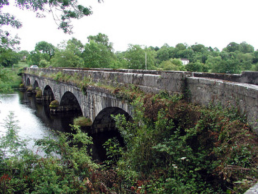 Jamestown Bridgebridge · 745 yd
 Jamestown Housegate lodge · 805 yd
 Wildlife AreaNature reserve · 1016 yd
 Patrick Gill Memorial Plaque (IRA)Monument · 1033 yd
 Robert Strawbridge MemorialMemorial · 1171 yd
 Site of Dangan CastleCastle, unclassified · 1.9 mi
 Moon RiverHeritage attraction · 3.4 mi
 InishmoylinIslet · 3.8 mi
 Coarse IslandForest · 4.0 mi
 Dockery's IslandIslet · 4.1 mi