What is recorded here
Fairy fort / earthen ringfort in Drumbrahade stands as a broken earthen circle beside the Diffagher River, its shallow bank and faded ditch still marking a large enclosed space in the flat valley. The name suggests people once believed the site belonged to unseen neighbours rather than ordinary residents. That much larger circle may have held a house, a barn or a meeting place before farming and drainage cut through it.
Located in a flat valley-bottom with a NW-SE branch of the Diffagher River c. 50m to the SW. This is a circular grass and rush-covered area (diam. c. 45m NW-SE; 42 NE-SW) defined by a grass-covered earthen bank that survives (Wth 6.8m; int. H 0.1m; ext. H 0.3m) N-ESE and SE-SW (Wth 7.3m; int. H 0.1m; ext. H 0.3m). It has an outer fosse which can be seen best (Wth of top 9m; Wth of base 4.8m; ext. D 0.1-0.3m) SE-SW and is incorporated into a NE-SW field drain E-SE. An outer bank (Wth c. 4.5m; ext. H 0.1m) is visible SE-S-NW. A NE-SW field bank and drain overlie the inner perimeter on the NW side, and features are less distinct to the NW of this. No entrance can be identified (max. ext. diam. c. 60m NE-SW). It is visible on the OSI series of aerial images (1995, 2000, 2005) and on Bing images (2013).
Compiled by: Michael Moore
Date of upload: 28/04/2015
The monument record does not grant public access. Check the route and ask the landowner before entering private land.
- What survives
- Recorded monument
Places near here
 IndicatedFairy fort / stone ringfort · 736 yd
 Church (in Ruins)Church · 1168 yd
 Sweat Ho.Sweathouse · 1230 yd
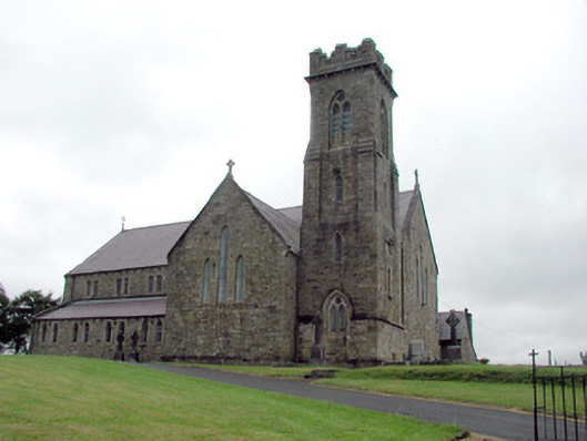 Saint Brigid's Catholic Churchchurch/chapel · 1.2 mi
 Drummans IslandIslet · 2.4 mi
 Corry ShoalIslet · 3.1 mi
 Black PoplarBlack Poplar · 3.3 mi
 Forde's CastleCastle · 3.3 mi
 European ashEuropean ash · 3.3 mi
 ArdlougherMountain / peak · 3.6 mi
 Scardan WaterfallWaterfall · 4.1 mi
 Seltannasaggart SE SlopeMountain / peak · 4.3 mi