What is recorded here
Two deep ditches and two high banks enclose a thirty-metre circle in Drumbee, yet green growth has swallowed most of the edges. The earth still holds its shape beneath the leaves, waiting for someone to walk the hidden path and remember what the fort guarded.
Raised circular area (int. diam. 30m) enclosed by two substantial earthen banks, each accompanied by an outer fosse. External fosse only visible from E-SE-S. Corresponding breaks in banks at NE may represent original entrance. Site densely overgrown with vegetation.
The above description is derived from the published 'Archaeological Inventory of County Cavan' (Dublin: Stationery Office, 1995). In certain instances the entries have been revised and updated in the light of recent research.
Date of upload/revision: 22 December 2008
The monument record does not grant public access. Check the route and ask the landowner before entering private land.
- What survives
- Recorded monument
Places near here
 Enclosure in MullacastleEnclosure · 10 yd
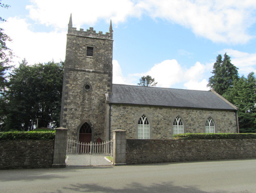 St Patrick’s Church Kildrumfertonchurch/chapel · 1265 yd
 Portal tomb in CarrickacroyPortal tomb · 1412 yd
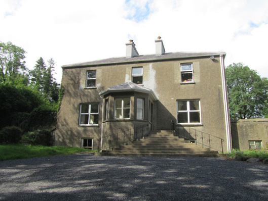 The Rectoryrectory/glebe/vicarage/curate's house · 1427 yd
 Deer ParkWood · 1.7 mi
 Bawn in DuffcastleBawn · 1.8 mi
 Giant's GraveArchaeological place · 1.9 mi
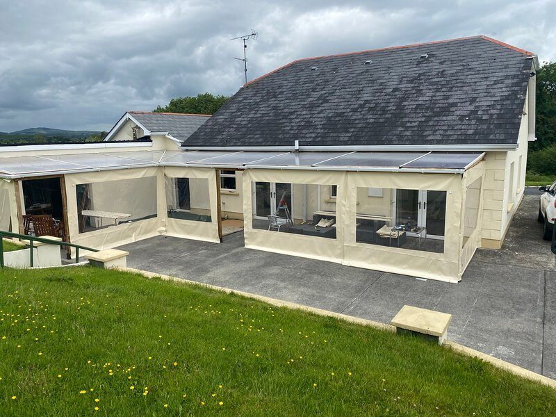 Aghakilmore LowerMountain / peak · 2.7 mi
 Derry ForestForest · 2.8 mi
 Ardkill MoreMountain / peak · 3.0 mi
 In Loving Memory of Killian CaseyMemorial · 4.0 mi
 Crover Old Castle (in Ruins)Castle, tower house · 4.5 mi