What is recorded here
Half a circle of earth still stands in Drumbartagh, the other half erased beneath a field boundary. The fort measured twenty-six metres across when surveyed in 1836, large enough for a household and its storms. It may have been a home, a shelter or a boundary marker before people stopped shaping it. What remains is a shallow arc, neither gone nor complete, holding the shape of a life that no longer names itself.
Marked 'Fort' on OS 1836 ed. Not marked on subsequent eds. It apparently comprised a raised circular area (int. diam. c. 26.4m) enclosed by a bank and fosse. The site is divided into unequal portions by a field boundary running NNW-SSE. N of this there is no trace of the site visible at ground level. However, S of the field boundary the outline of the perimeter is still identifiable.
The above description is derived from the published 'Archaeological Inventory of County Cavan' (Dublin: Stationery Office, 1995). In certain instances the entries have been revised and updated in the light of recent research.
Date of upload/revision: 22 December 2008
This remains an important historical record, but the official description says the monument is no longer visible or has been destroyed. The monument record does not grant public access. Check the route and ask the landowner before entering private land.
- What survives
- No visible remains or recorded as destroyed
Places near here
 Ceremonial enclosure in NeddaiaghCeremonial enclosure · 902 yd
 St Mary's Roman Catholic Churchchurch/chapel · 991 yd
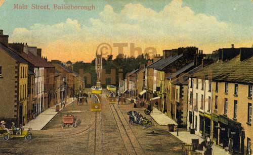 Mass-rock in Longfield (drumcarn Ed)Mass-rock · 1104 yd
 Bunnoe Bridgebridge · 1567 yd
 Drumcarn Ho.Castle, unclassified · 1630 yd
 CorrakeeranMountain / peak · 1.1 mi
 Embanked enclosureBawn · 1.4 mi
 CallowhillMountain / peak · 2.1 mi
 Giant's GraveArchaeological place · 2.4 mi
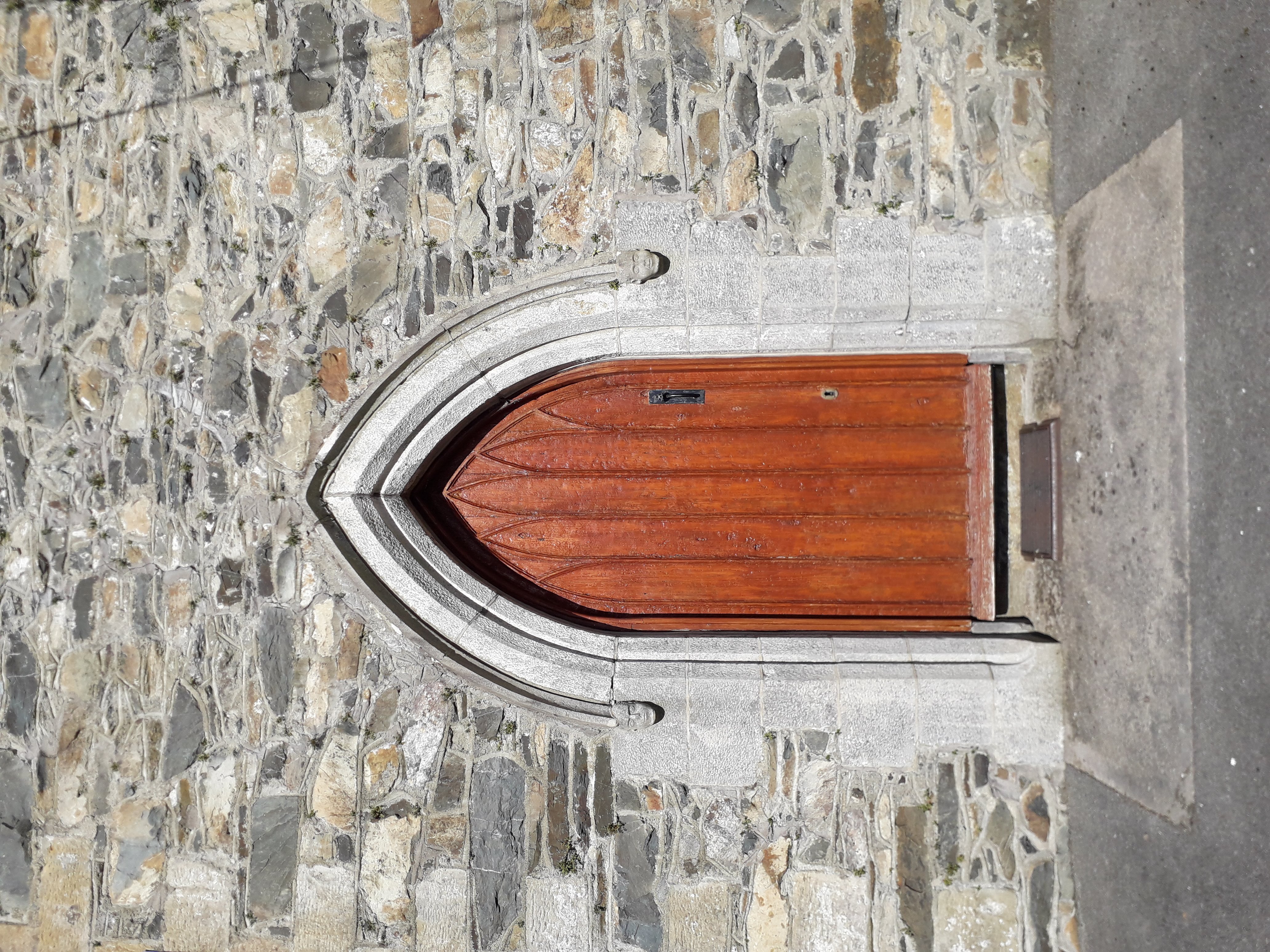 KilloughterWood · 3.0 mi
 StoneparkWood · 3.0 mi
 Garden IsleIslet · 3.2 mi