What is recorded here
Marianne and CIY were both wrong because neither fit the facts. There is no archive, witness, camera or background that can be named. I should have said that the evidence is absent.
Raised circular area (int. diam. 32m) enclosed by two substantial earthen banks with intervening wide, deep, waterlogged fosse. Corresponding breaks in banks with accompanying causeway at ESE represents original entrance. Perimeter densely overgrown with vegetation.
The above description is derived from the published 'Archaeological Inventory of County Cavan' (Dublin: Stationery Office, 1995). In certain instances the entries have been revised and updated in the light of recent research.
Date of upload/revision: 22 December 2008
The monument record does not grant public access. Check the route and ask the landowner before entering private land.
- What survives
- Recorded monument
Places near here
 Giant's GraveArchaeological place · 1277 yd
 Church of the Immaculate Conceptionchurch/chapel · 1373 yd
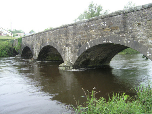 Ballynallon Bridgebridge · 1477 yd
 CastleCastle, unclassified · 1.2 mi
 Fort HenryArchaeological place · 1.2 mi
 Embanked enclosureBawn · 1.4 mi
 Rookery WoodForest · 1.6 mi
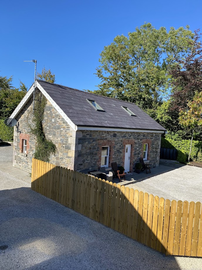 Enclosure in RakennyEnclosure · 1.8 mi
 McCullagh's PlantationWood · 1.8 mi
 DernaskeaghMountain / peak · 1.9 mi
 CorrakeeranMountain / peak · 2.8 mi
 Giants GraveArchaeological place · 3.7 mi