What is recorded here
Fairy fort in Dromturk, County Limerick: a lost ringfort, still turning its shadow across the pasture. The fort vanished from the land but never stopped occupying it, because the cut edge still marks a room never built for people. Its size and shape suggest a household, a boundary, a life lived inside a circle small enough to know by heart. What is missing has not gone quiet. It has moved the claim elsewhere, waiting for someone to stop measuring and start listening.
In pasture, on S-facing slope. Monument, depicted as embanked circular enclosure (diam. c. 20m) on 1841 OS 6-inch map, has been levelled. However, it is now evident as circular area (23m N-S) defined by scarped edge (H 0.45m; Wth 4.9m) S->WSW and NNW->NNE. Otherwise site level and under grass.
Compiled by: Denis Power
Date of upload: 26 August 2011
The monument record does not grant public access. Check the route and ask the landowner before entering private land.
- What survives
- Recorded monument
Places near here
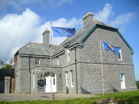 Rathgoonan Housecountry house · 355 yd
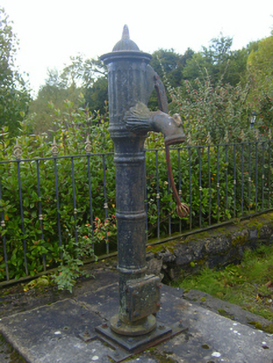 water pumpwater pump · 533 yd
 Mound in Ballyegny BegMound · 749 yd
 IndicatedFairy fort / earthen ringfort · 847 yd
 St. Luke's WellSpring · 1301 yd
 Castle (in ruins)Castle, tower house · 1563 yd
 CahermoyleCastle, unclassified · 1683 yd
 St. Kieran's WellSpring · 1.5 mi
 European ashEuropean ash · 4.2 mi
 Limerick GreenwayWalking route · 6.2 mi
 Gammarel PointHeadland · 7.2 mi
 Monterey CypressMonterey Cypress · 7.5 mi