What is recorded here
Killanummery holds a thirty-two-metre earthen ring on a drumlin, surrounded by conifers but never buried under them. People called it a fairy fort, perhaps because the true owners vanished before human borders cut through the grass. The field bank still splits the ancient circle, proving that human arrogance reaches even places the fairies reserved for themselves.
Situated on top of a drumlin. This is a grass and scrub-covered subcircular area (diam. 32m NW-SE), which remains unplanted in a coniferous forest. It is defined by an earthen bank, best preserved at NW (Wth 5m; int. H 0.3m; ext. H 0.7m), and a slight external fosse (Wth 1m). The original entrance is not identified, and the monument is bisected by a NE-SW field bank and townland boundary.
The above description is derived from 'The Archaeological Inventory of County Leitrim' compiled by Michael J. Moore (Dublin: Stationery Office, 2003). In certain instances the entries have been revised and updated in the light of recent research.
Date of upload: 23 September 2008
The monument record does not grant public access. Check the route and ask the landowner before entering private land.
- What survives
- Recorded monument
Places near here
 St. Michaels ChurchChurch · 695 yd
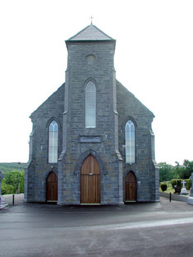 Saint Mary's Catholic Churchchurch/chapel · 1056 yd
 Enclosure in Tully (drumahaire By.)Enclosure · 1295 yd
 No indicatedFairy fort / earthen ringfort · 1523 yd
 Old HallCastle, hall-house · 1.8 mi
 IndicatedBawn · 1.8 mi
 Green IslandIslet · 3.4 mi
 Cullentra ForestForest · 3.6 mi
 Trawane BayBay · 4.0 mi
 InnisfreeIslet · 4.1 mi
 SlishwoodWood · 4.3 mi
 Parke's CastleHeritage attraction · 4.7 mi