What is recorded here
Behind Dromerin House, a 32-metre earthen ringfort lies half-swallowed by soil and memory. Its western bank still rises 1.6 metres, broad enough to walk beside, while the northern edge has vanished into the land. The interior has become a vegetable garden, where carrots and beans take root in what may have been a dwelling, a defensible home, or a boundary marker for a forgotten family. The fort does not demand belief; it invites imagination.
Internal diameter 32m E-W
Situated directly behind Dromerin House, this site has been very much levelled and today consists of a sub-circular raised area. N to W no trace of any rise or bank can be distinguished above the surrounding land. W to SW for 12m an earthen bank 9m wide and 1.6m high is distinguishable. The interior has been used as a vegetable garden.
The above description is derived from C. Toal, ‘North Kerry Archaeological Survey’. Dingle. Brandon in association with FAS Training and Employment Authority (1995), no. 403. In certain instances the entries have been revised and updated in the light of recent research.
Date of upload: 2 August 2013
The monument record does not grant public access. Check the route and ask the landowner before entering private land.
- What survives
- Recorded monument
Places near here
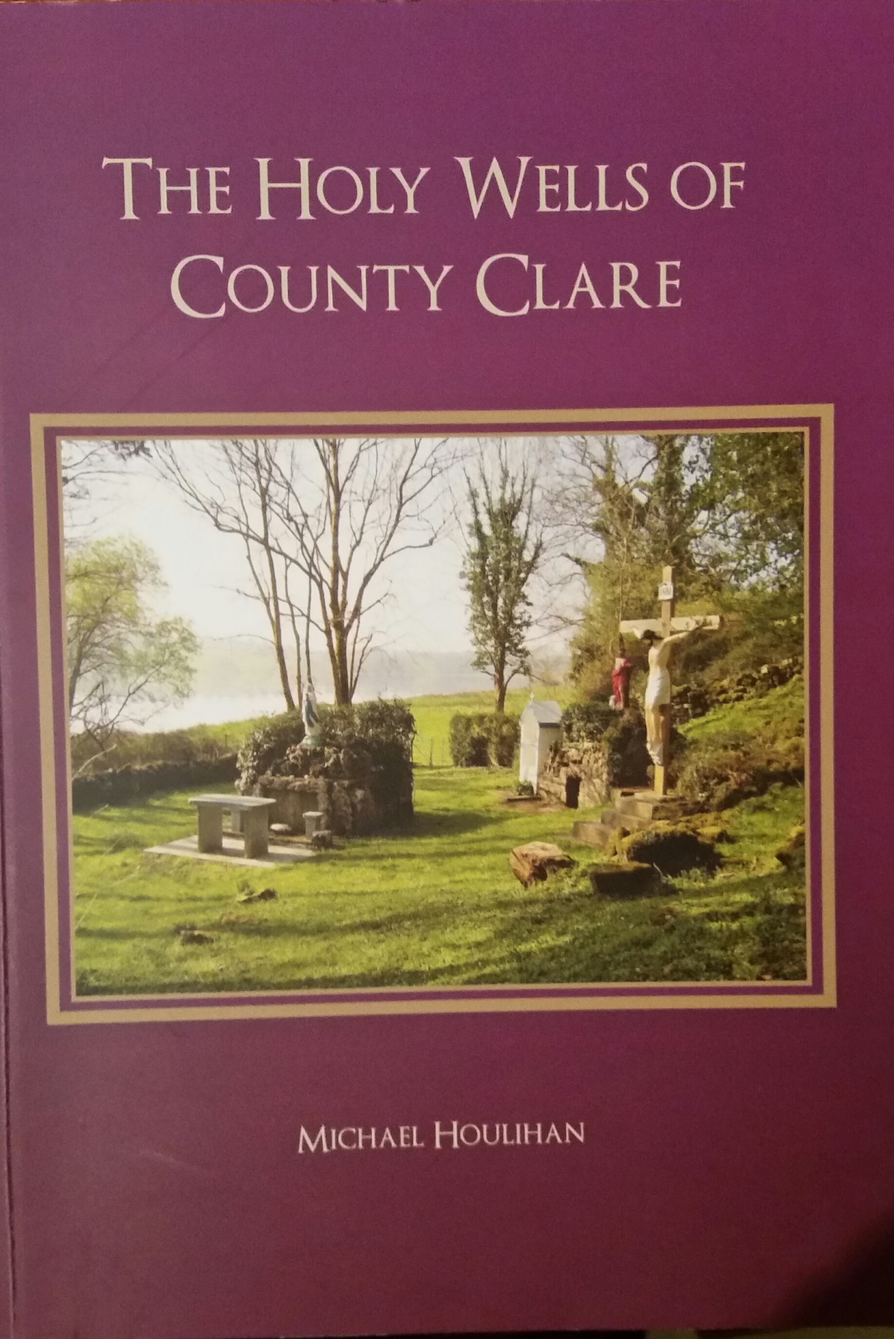 Holy well in GortacrossaneHoly well · 882 yd
 LisnaboorheeArchaeological place · 1.6 mi
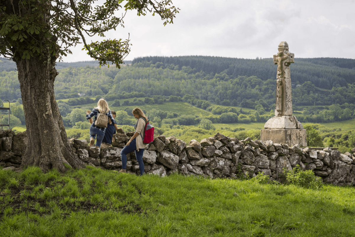 Dysert Church (in ruins)Church · 1.8 mi
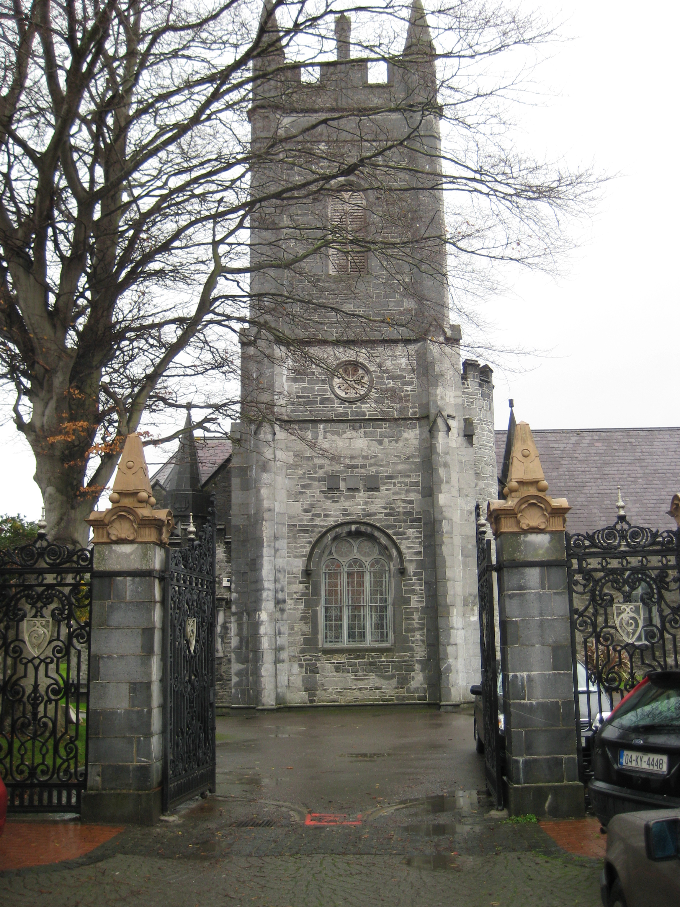 Galey Church (in ruins)Church · 2.0 mi
 Bawn in GlouriaBawn · 2.7 mi
 Lartigue MonorailMuseum · 3.0 mi
 John B. Keane GroveMemorial · 3.1 mi
 Bawn in BallydonohoeBawn · 3.1 mi
 Kerry Writers' MuseumMuseum · 3.2 mi
 Bryan MacMahonMemorial · 3.2 mi
 Men's BeachBeach / strand · 6.6 mi
 Ladies' BeachBeach / strand · 6.6 mi