What is recorded here
Dromleigh holds a thirty-five metre earthen ring on a west-facing slope, marked by two silent gaps where people once entered or fled. The bank still stands one and a half metres high beside a shallow ditch, while removed fences expose the shape of an old living place. Fairy fort is the local name, but the measure is human: large enough to keep out rain, predators and perhaps unwanted visitors, yet small enough that every choice inside it would have been seen.
In pasture, on W-facing slope. Roughly circular area (35m N-S; 33m E-W) enclosed by earthen bank (int. H 1.4m; ext. H 1.8m); external fosse (D 0.5m). Break in bank to SE and WSW. Surrounding field fences removed.
The above description is derived from the published 'Archaeological Inventory of County Cork. Volume 4: North Cork' (Dublin: Stationery Office, 2000). In certain instances the entries have been revised and updated in the light of recent research.
Date of upload/revision: 14 January 2009
The monument record does not grant public access. Check the route and ask the landowner before entering private land.
- What survives
- Recorded monument
Places near here
 Fulacht fia in FlemingstownFulacht fia · 192 yd
 Folacht FiadhFulacht fia · 507 yd
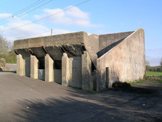 Ballindangan Handball Alleyhandball alley · 1.3 mi
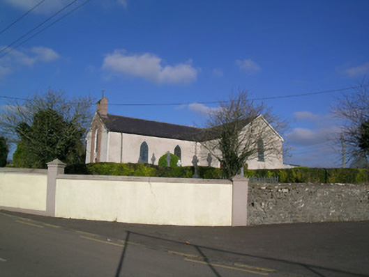 Church of the Immaculate Conceptionchurch/chapel · 1.3 mi
 Caherdrinny Castle (in Ruins)Castle, tower house · 1.4 mi
 Carriganoura Castle (in Ruins)Castle, tower house · 1.9 mi
 FlagCave · 2.0 mi
 Statue of Saint FanahanMemorial · 2.1 mi
 Mitchelstown Town MapVisitor information · 2.3 mi
 John MandevilleMemorial · 2.3 mi
 St Dominick's WellSpring · 4.1 mi
 Kilclooney WoodWood · 4.6 mi