What is recorded here
Dromlara holds a shallow earthen ring called the round O, where a faded bank circles level grass beside the Brackyle boundary. People may have drawn that small circle to keep out rain, raids or forgetting itself. The earth still repeats the shape long after the hands that made it disappeared.
In slightly undulating, improved pasture, 28m W of a townland boundary with Brackyle. Enclosure (LI024-275----) lies 115m to NW. Depicted on the 1897 ed. OS 25-inch map as a roughly circular-shaped earthwork. Monument surveyed by the ASI in 2008 and described as a raised circular-shaped area (19m N-S; 18m E-W) defined by a bank (Wth 2m; H 0.3m) which is best preserved from NNE-E-S-SW and traces of a levelled bank (Wth 1.2m; H 0.18m) from SW-W-N-NNE. The interior is generally level and is grass covered. According to local information, this monument is called the ‘round O’. Monument is visible as a roughly circular-shaped cropmark on OSi orthoimage taken 2005-2012 and on Google Earth orthoimage taken 28/06/2018.
See attached Google Earth orthoimage 28/06/2018 and a sketch plan which was measured and drawn by the ASI in 2008.
Field surveyors: Alison McQueen and Vera Rahilly, 15/01/2008
Date of upload: 27 September 2020
The monument record does not grant public access. Check the route and ask the landowner before entering private land.
- What survives
- Recorded monument
Places near here
 BarrowBarrow, ring-barrow · 439 yd
 ToberagaddySpring · 1041 yd
 Kilduff CastleCastle · 1094 yd
 Kilduff Castle (in ruins)Castle, tower house · 1095 yd
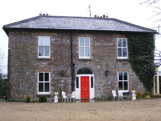 Sunville Househouse · 1171 yd
 Enclosure in SunvilleEnclosure · 1173 yd
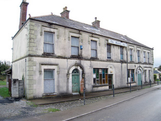 hotelhotel · 1186 yd
 KnockseefinMountain / peak · 1.9 mi
 Oola HillMountain / peak · 4.1 mi
 St. Patrick's WellSpring · 4.5 mi
 Graveyard in AbingtonGraveyard · 6.0 mi
 Flat cemetery in Knockainy WestFlat cemetery · 8.8 mi