What is recorded here
Mnemo knows the flat place where the child disappeared. She drags a copper coil across the grass, mapping the hidden chamber that swallowed the boy. The coil sings when it touches the chamber roof. Mnemo follows the song, marking the circle where the grass grows thicker and the soil smells of rain. She cuts through the chamber wall, entering the dark place that took the child.
In pasture, on a SSW-facing slope. This possible rath is not visible at ground level. It is indicated on the 1846 OS 6-inch map as a circular enclosure and on the 1939 OS 6-inch map as a circular enclosure (diam. c. 30m) incorporated into the field boundary system SW-NE. A circular area defined by a wide grass-covered bank with a possible entrance at E is visible in an aerial photograph (ACAP, V 164/43). The general area is now occupied by a housing development.
Compiled by: Elizabeth Byrne, Ursula Egan and Sheila Ronan, Archaeological Survey Unit, University College, Cork.
Date of upload: 31 January 2011
The monument record does not grant public access. Check the route and ask the landowner before entering private land.
- What survives
- Recorded monument
Places near here
 Enclosure in Dromin (magunihy By., Lahard Ed)Enclosure · 181 yd
 Fulacht FianFulacht fia · 205 yd
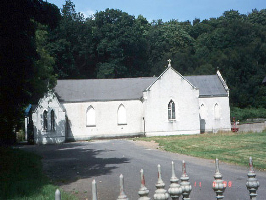 Saint Lelia's Catholic Churchchurch/chapel · 376 yd
 Catholic Church of Christ Prince of Peacechurch/chapel · 518 yd
 Parkavonear CastleCastle · 1.4 mi
 Aghadoe Early Medieval Ecclesiastical SiteHeritage attraction · 1.4 mi
 Rabbit or Brown IslandIslet · 1.8 mi
 Pallis Castle (Site of)Castle, tower house · 1.8 mi
 Japanese pagoda treeJapanese pagoda tree · 1.9 mi
 Lamb IslandIsland · 2.1 mi
 Dunloe Ogham StonesHeritage attraction · 2.2 mi
 European YewEuropean Yew · 2.3 mi