What is recorded here
Fairy fort in Dromin Lower, County Kerry: an earthen ringfort, 28.4m across, with a shallow fosse and a broad bank still visible on gently sloping pastureland north of the Limerick-Tralee railway line. People may have lived there, fenced stock, or simply marked the land with a ridge they could walk around. The fairies, according to local story, took the form later and kept the old shape for themselves.
Internal diameter 28.4m N-S, 21m E-W
Situated N of the Limerick-Tralee railway line, on pastureland gently sloping SE, this univallate rath consists of a sub-circular raised area of c 1.2m above the enclosing fosse. NW to W and E to S an enclosing bank c 4m wide is discernable. The external height ranges 1m-1.6m and the internal .3m-.5m high. The enclosing fosse is very shallow, c 2m wide and .6m-1m below the height of the surrounding land.
The above description is derived from C. Toal, ‘North Kerry Archaeological Survey’. Dingle. Brandon in association with FAS Training and Employment Authority (1995), no. 426. In certain instances the entries have been revised and updated in the light of recent research.
Date of upload: 2 August 2013
The monument record does not grant public access. Check the route and ask the landowner before entering private land.
- What survives
- Recorded monument
Places near here
 CastleCastle, tower house · 700 yd
 Fulacht fia in BallygowlogeFulacht fia · 1043 yd
 John B. KeaneMemorial · 1556 yd
 Statue of SchillerMemorial · 1566 yd
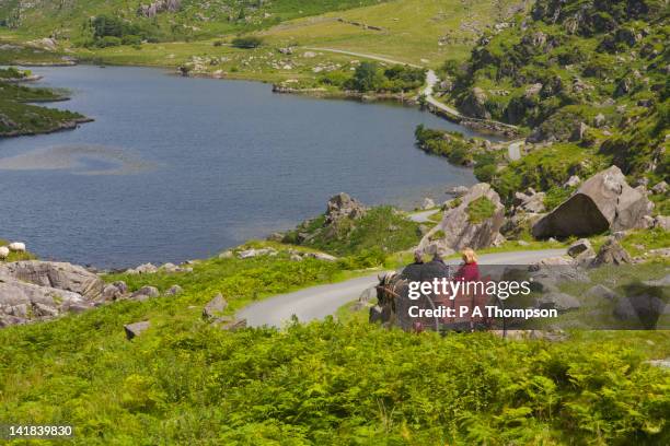 Fulacht fia in CoolatoosaneFulacht fia · 1610 yd
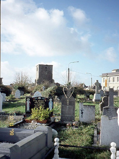 church/chapelchurch/chapel · 1.1 mi
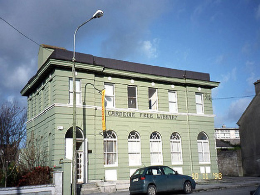 Listowel Carnegie Free Librarylibrary/archive · 1.1 mi
 Kerry Writers' MuseumMuseum · 1.4 mi
 Listowel Castle (in ruins)Castle, tower house · 1.4 mi
 Lartigue MonorailMuseum · 1.5 mi
 KnockanoreMountain / peak · 8.3 mi
 Siege of Carrigafoyle Castlesiege · 8.6 mi