What is recorded here
Fairy fort in Dromin East is an 18-metre earthen ring on a SE-facing slope in County Kerry, with a 4-metre eastern entrance and narrow cattle breaches at NE and SSE. Its bank reaches 2.8 metres externally, while the raised interior compensates for the hillslope. Cattle may have passed through its breaches for centuries, turning a human dwelling into a boundary marker and giving the fairy name a practical shape.
In pasture, on a SE-facing slope. A circular area (18m NW-SE) defined by an earthen bank (Wth 3.45m; int. H 1.2m; ext. H 2.8m). The bank is incorporated into the field boundary system at N. There is an entrance (Wth 4m) at E, with narrow cattle breaches at NE and SSE. The SE portion of the interior is raised (H 1.6m) above the external ground level to compensate for the hillslope. A field boundary radiates from the bank along the SSE arc, externally.
Compiled by: Elizabeth Byrne, Ursula Egan and Sheila Ronan, Archaeological Survey Unit, University College, Cork.
Date of upload: 31 January 2011
The monument record does not grant public access. Check the route and ask the landowner before entering private land.
- What survives
- Recorded monument
Places near here
 Parkalassa FortFairy fort / earthen ringfort · 289 yd
 Burnt spread in Corbally (magunihy By., Dromin Ed)Burnt spread · 1718 yd
 IndicatedKiln, lime · 1.1 mi
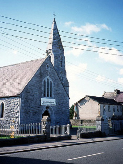 Catholic Church of the Sacred Heartchurch/chapel · 1.4 mi
 CastleCastle, tower house · 1.6 mi
 Clash IslandIslet · 2.1 mi
 The Kerry Creamery ExperienceHeritage attraction · 2.2 mi
 Cloon IslandIsland · 2.4 mi
 Ballymalis Castle (in ruins)Castle, tower house · 2.9 mi
 King Puck statueMemorial · 3.0 mi
 LisnagraveArchaeological place · 4.7 mi
 Dunloe Ogham StonesHeritage attraction · 5.6 mi