What is recorded here
Drombeg holds a circular earthen platform wide enough for thirty-six metres of forgotten life. A narrow causeway still points to the south-west entrance, inviting entry into a world that has vanished beneath grass and rain. The fort stands barely three feet above the poor low-land, yet its shape remains clear in the aerial photographs. It is not a grand castle or a glossy monument. It is a shallow ring, humble and exposed, waiting for someone to imagine the people who shaped it.
Monument described by O'Kelly (1942-3, 234) as following; 'This is a circular earthen platform surrounded by a fosse. The entrance was on the south-west side where a causeway leads on to the platform. The maximum height of the structure over the field is 3' [0.9m]. The overall diameter is 120' [36.5m]. Situated in poor low-land'.
Compiled by: Caimin O'Brien
Date of upload: 01 August 2019
See attached ASI aerial photograph ASIAP – 307/36 taken 13/09/2002 and 329/1 taken 05/10/2002.
The monument record does not grant public access. Check the route and ask the landowner before entering private land.
- What survives
- Recorded monument
Places near here
 Castle IeversCastle, unclassified · 1160 yd
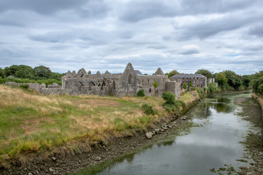 Partially hachuredMan-made underground passage · 1227 yd
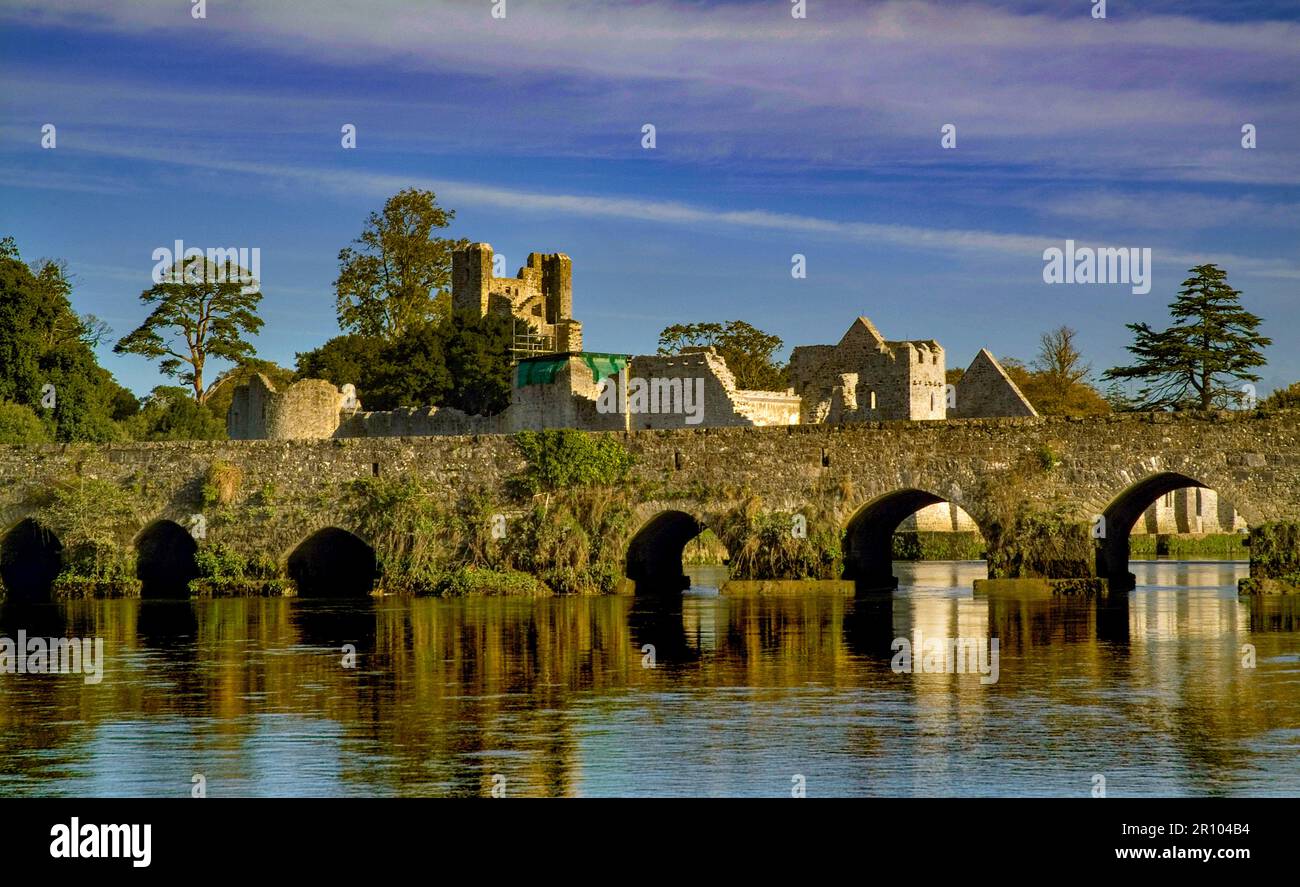 BarrowBarrow, unclassified · 1367 yd
 Church in Crean (smallcounty By.)Church · 1457 yd
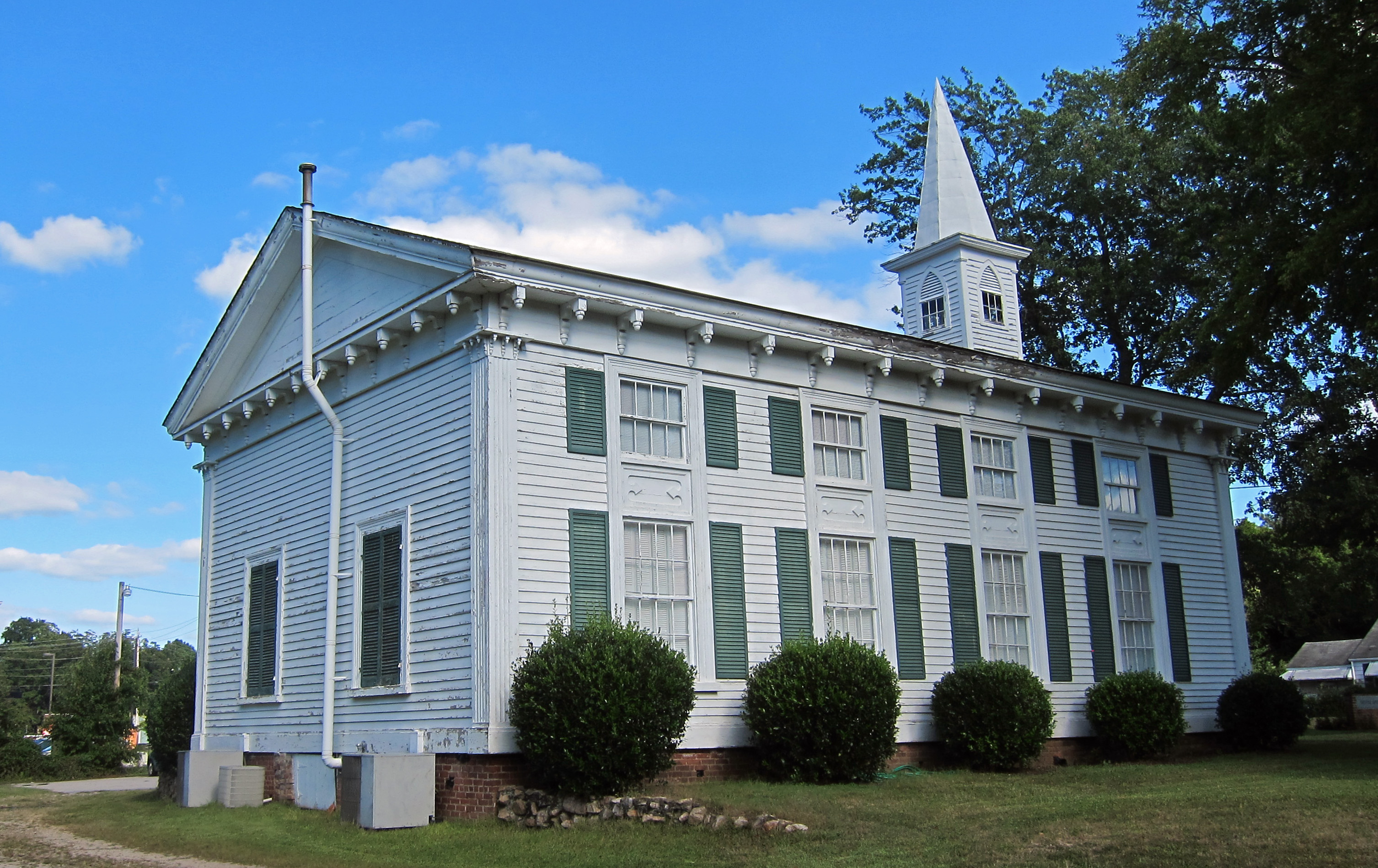 Church (in ruins)Church · 1.1 mi
 Athlacca Ho. (in ruins)Castle, unclassified · 1.6 mi
 Monasteranenagh AbbeyHeritage attraction · 2.7 mi
 European ashEuropean ash · 3.6 mi
 Biodiversity in the Maigue CatchmentVisitor information · 4.3 mi
 Lough GurVisitor information · 4.8 mi
 Banoge's WellSpring · 6.3 mi
 Flat cemetery in Knockainy WestFlat cemetery · 7.8 mi