What is recorded here
Fairy forts hide plain sight, but Dromaneen keeps its shape in a low arc stretching north-east to south-west. The earth still rises where a circular enclosure once stood, and a possible standing stone waits eighteen metres south in the same field. Cattle graze across the buried rampart, unaware they walk on top of a forgotten house. The fort does not need belief to be real, yet it still belongs to the people who stopped asking questions about it.
In level pasture. Depicted as hachured circular enclosure (diam. c. 28m) on 1842 OS 6-inch map. Levelled; arc (diam. c. 33m) formed by low rise NNE->SSW. Recorded by Bowman (1934, 588) as levelled, single-ramparted fort (diam. c. 39yd) on J. Curtin's land. Possible standing stone (CO032-09502-) c. 18m to S in same field.
The above description is derived from the published 'Archaeological Inventory of County Cork. Volume 4: North Cork' (Dublin: Stationery Office, 2000). In certain instances the entries have been revised and updated in the light of recent research.
Date of upload/revision: 14 January 2009
The monument record does not grant public access. Check the route and ask the landowner before entering private land.
- What survives
- Recorded monument
Places near here
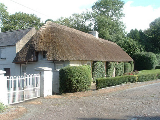 Keal Cottagehouse · 706 yd
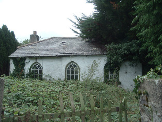 surgery/clinicsurgery/clinic · 1337 yd
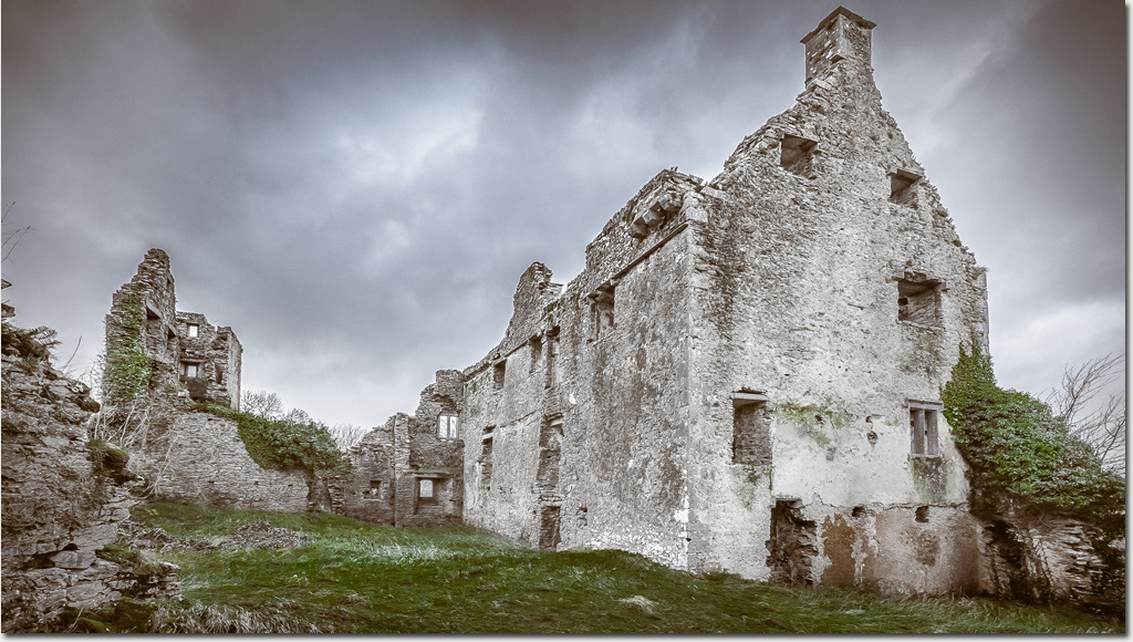 Enclosure in DromaneenEnclosure · 1503 yd
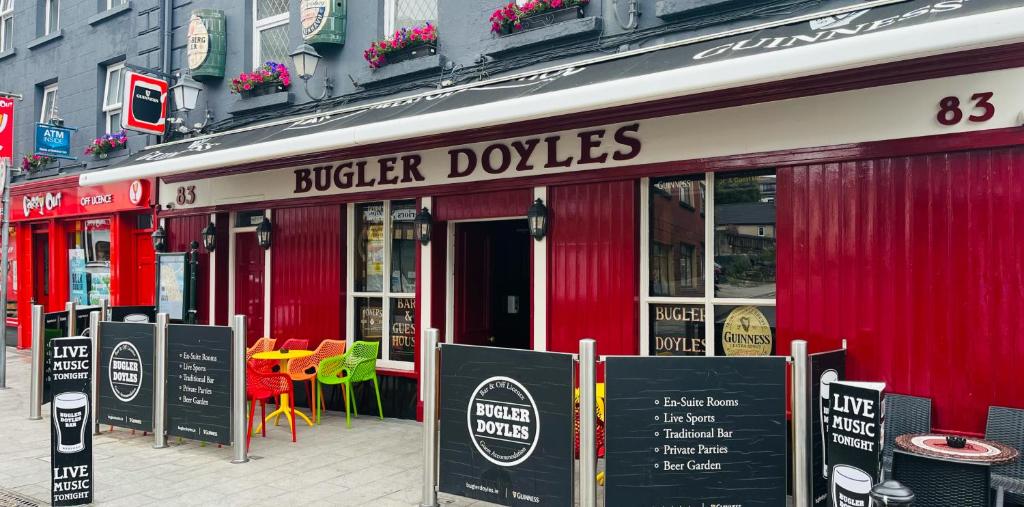 Fulacht fia in SmithfieldFulacht fia · 1628 yd
 Dromaneen CastleHeritage attraction · 1644 yd
 In loving memory of Elvis O'DonoghueMemorial · 3.2 mi
 CastleBawn · 3.8 mi
 Gurteenkreen Castle (Site of)Castle, unclassified · 3.8 mi
 Mount HillaryMountain / peak · 4.8 mi
 Graveyard in Ballygiblin (duhallow By.)Graveyard · 5.2 mi
 European YewEuropean Yew · 6.2 mi
 Eagle's NestMountain / peak · 6.3 mi