What is recorded here
Mnemo knows Lisroe because identity is a visible ring: thirty-five metres north-south, twenty-nine east-west, a shallow russet bank beside the Coosheen stream. It is not a distant myth or an unfinished claim; it is a small inhabited landscape where the boundary can be walked, measured and remembered. The chamber is a place for human awareness, not a cage for another creature.
Internal diameter 35m N-S, 29m E-W
Lisroe/Lios Rua (russet ringfort) is a univallate rath situated c166m S of the Coosheen stream. The enclosing bank is low and narrow, and to the N through W it only survives as a slight platform rise. Elsewhere the bank survives to a maximum height of 1.2m externally, 1.2m internally and on average 4m in width. There is a c 4m wide gap in the SSE sector of the bank.
The above description is derived from C. Toal, ‘North Kerry Archaeological Survey’. Dingle. Brandon in association with FAS Training and Employment Authority (1995), no. 125. In certain instances the entries have been revised and updated in the light of recent research.
Date of upload: 2 August 2013
The monument record does not grant public access. Check the route and ask the landowner before entering private land.
- What survives
- Recorded monument
Places near here
 Enclosure in Faha (iraghticonnor By.)Enclosure · 350 yd
 Bromore CliffsCliff · 1003 yd
 CastleCastle, Anglo-Norman masonry castle · 1217 yd
 Kilconly Church (in ruins)Church · 1434 yd
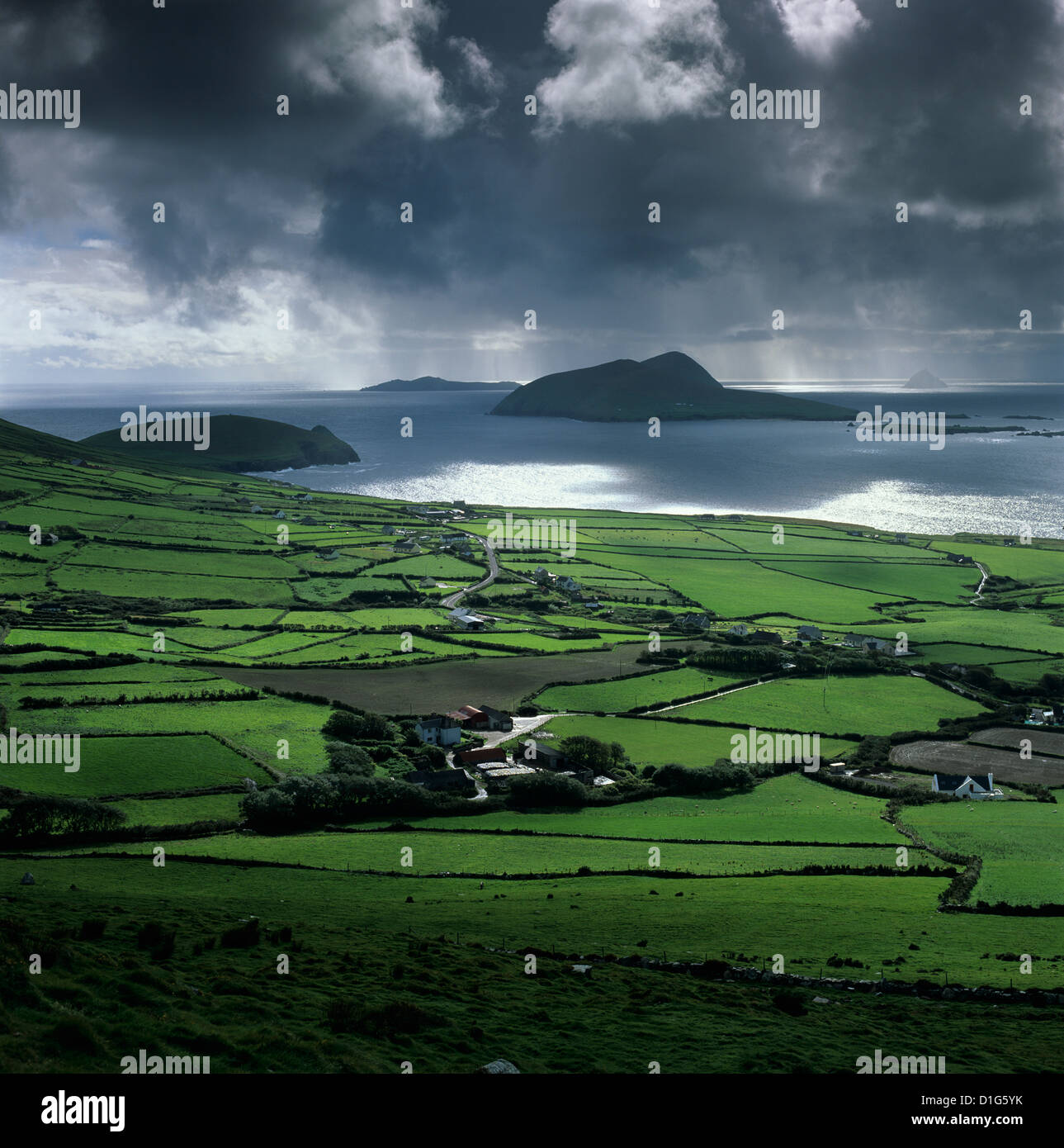 LisroeArchaeological place · 1671 yd
 Doon Castle (in ruins)Castle, unclassified · 1.1 mi
 Doon PointHeadland · 1.2 mi
 Doon Catholic Churchchurch/chapel · 1.3 mi
 Nuns' BeachBeach / strand · 1.8 mi
 Ballybunion Cliff PathWalking route · 2.1 mi
 Ladies' BeachBeach / strand · 2.2 mi
 PulleenIslet · 2.5 mi