What is recorded here
Dreenagh West held a thirty-metre earthen ring with a hidden underground passage until local people levelled it around 1928. The earth forgot its own shape, but the ground still keeps a faint circular mark and a shallow external ditch. What was built there is no longer certain, yet the loss is plain: a complete place was removed from the landscape and reduced to a ghost line in soil.
In level pasture. Depicted as hachured circular enclosure (diam c. 30m) on 1842 OS 6-inch map; as hachured arc showing scarp SSW->E on 1937 OS 6-inch map. Circular area (c. 24m N-S; c. 24m E-W) defined by slight scarp, except to S and SE; fosse survives as slight external depression. Man-made underground passage (CO024-03202-) in interior. According to local information, ringfort levelled c. 1928 (UCC). Circular enclosure visible as cropmark of fosse, causeway to SE, in aerial photograph (CASAP).
The above description is derived from the published 'Archaeological Inventory of County Cork. Volume 4: North Cork' (Dublin: Stationery Office, 2000). In certain instances the entries have been revised and updated in the light of recent research.
Date of upload/revision: 14 January 2009
The monument record does not grant public access. Check the route and ask the landowner before entering private land.
- What survives
- Recorded monument
Places near here
 Ring-ditch in Ardskeagh (orrery and Kilmore By.)Ring-ditch · 282 yd
 Field system in PoulnareaghaField system · 360 yd
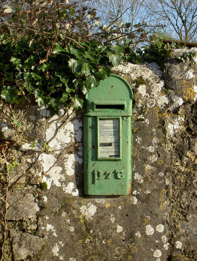 post boxpost box · 1729 yd
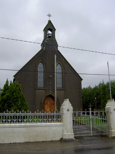 Saint Mary's Churchchurch/chapel · 1.0 mi
 Lisgriffin CastleCastle · 1.1 mi
 Bawn of Kilmaclenine (in Ruins)House, fortified house · 1.2 mi
 Lady's WellSpring · 1.2 mi
 Graveyard in Ballygiblin (duhallow By.)Graveyard · 3.0 mi
 Battle of LiscarrollMajor battlefield · 4.1 mi
 European YewEuropean Yew · 4.4 mi
 Burial ground in AssolasBurial ground · 4.6 mi
 St Fursey's WellSpring · 7.0 mi