What is recorded here
Doonnagurroge holds a circular earthen fort where clay and stone still mark the boundary of an old life. People may have built the rim to keep out rain, bandits or danger, then left it empty when the region changed. The fairness in its local name suggests humans later refused to explain the shape, handing the unknown back to imagination.
The Archaeological Survey of Ireland (ASI) is in the process of providing information on all monuments on The Historic Environment Viewer (HEV). Currently the information for this record has not been uploaded. To access available information for research purposes please make an appointment in advance with the Archive Unit (open Fridays 10.00 am – 5.00 pm), Department of Housing, Local Government and Heritage, The Custom House, Dublin 1 D01W6XO or email NMarchive@housing.gov.ie.
The monument record does not grant public access. Check the route and ask the landowner before entering private land.
- What survives
- Recorded monument
Places near here
 Enclosure in DoonnagurrogeEnclosure · 714 yd
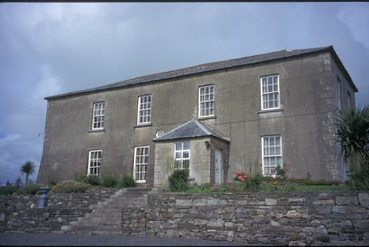 Donagrogue Castlehouse · 840 yd
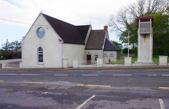 Saint Imy's Catholic Churchchurch/chapel · 899 yd
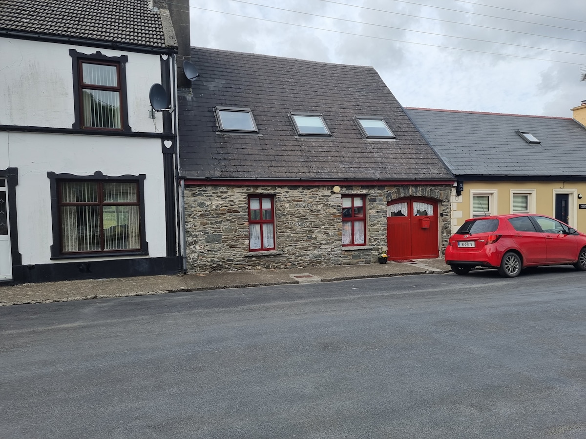 CahernagatFairy fort / stone ringfort · 957 yd
 St Senan's WellSpring · 1304 yd
 Ballymacrinan BayBay · 1.7 mi
 Vandeleur Walled GardenHeritage attraction · 2.9 mi
 Labasheeda Fort (19th Century)Castle · 3.3 mi
 The Museum of Irish Rural LifeMuseum · 3.5 mi
 Clonderalaw BayBay · 3.6 mi
 St. Senan's WellSpring · 3.8 mi
 Crag WoodWood · 3.9 mi