What is recorded here
Dooncaha holds a circular earthen ringfort beside pasture, marked by a dipping bank and two faint northern lines. It is the kind of place where ordinary land still carries the shape of human choice.
In pasture, on gentle E-facing slope. Circular area (22.6m N-S; 22m E-W) enclosed by earthen bank (int. H 0.7m; ext. H 1.9m), best preserved NNW->NE. External bank height (H 0.15m) becomes low SSW->NNW where there is a noticeable increase in internal bank height (H 1.2m). Bank dips SSE->SSW for c. 4.75m. Interior, under pasture, slopes down towards SE quadrant. Immediately N of enclosure an earthen bank (H 1.1) extends for 27m on an E-W axis, before turning S and becoming much lower; it runs a further 24m before fading out. Another bank (H 0.2m), 6m to N of latter, runs E-W for 30m before fading out.
Compiled by: Denis Power
Date of upload: 26 August 2011
The monument record does not grant public access. Check the route and ask the landowner before entering private land.
- What survives
- Recorded monument
Places near here
 Mound in Corbally (shanid By.)Mound · 228 yd
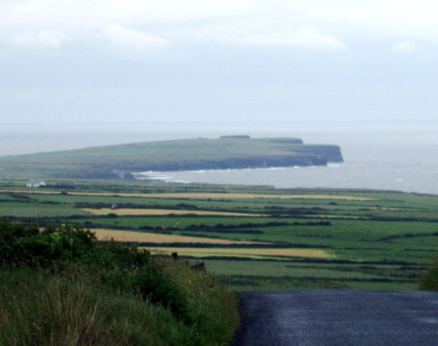 Mound in DooncahaMound · 642 yd
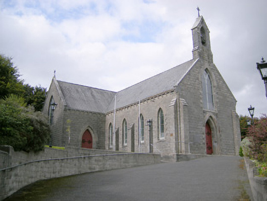 Saint Colman's Catholic Churchchurch/chapel · 1337 yd
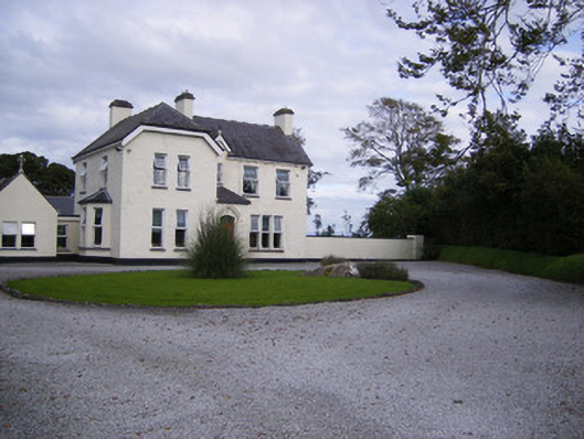 The Presbyteryhouse, presbytery/parochial/curate's house · 1366 yd
 Shanid CastleCastle · 1.2 mi
 Shanid Castle (in ruins)Castle, Anglo-Norman masonry castle · 1.2 mi
 St. Luke's WellSpring · 3.0 mi
 St. Kieran's WellSpring · 4.2 mi
 Foynes Flying Boat & Maritime MuseumMuseum · 4.8 mi
 Monterey CypressMonterey Cypress · 5.0 mi
 Foynes Island ViewpointViewpoint · 5.0 mi
 Gammarel PointHeadland · 5.2 mi