What is recorded here
Dooncaha holds a broad oval scarped from a low ridge, its eastern edge rising four metres above pasture while the western side nearly vanishes into the slope. Cattle still walk the soft interior where a small digging hole marks the only visible wound in the ancient ground. The fort has lost every named owner and every room it once contained, yet the earth keeps its shape against the sky like a forgotten promise.
In pasture, on low E-facing ridge projecting from S-facing slope. Oval area (36.2m N-S; 28.4m E-W) defined by scarped edge, best preserved at E (H 4.05m; Wth 9.2m) where accentuated by natural fall of ground, but gradually decreasing in height as it moves up-slope to W (H 0.2m; Wth 7.4m). Earth-and-stone field boundary skirts base of scarp SW->W. Interior, under pasture, slopes gently to SE. Depression (0.9m N-S x 1m E-W; D 0.4m) in NE quadrant the result of digging by metal-detector users, according to landowner.
Compiled by: Denis Power
Date of upload: 26 August 2011
The monument record does not grant public access. Check the route and ask the landowner before entering private land.
- What survives
- Recorded monument
Places near here
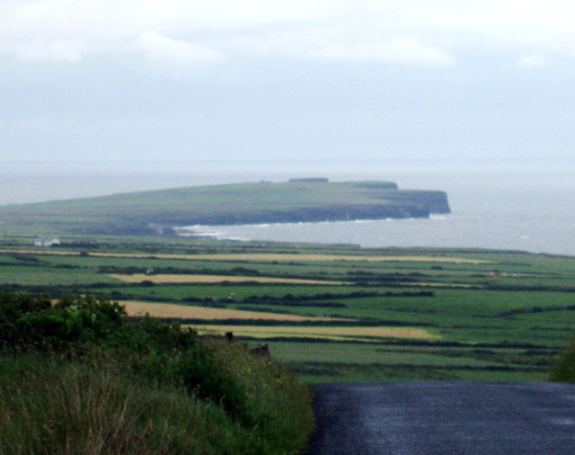 Mound in DooncahaMound · 218 yd
 Mound in Corbally (shanid By.)Mound · 760 yd
 Shanid Househouse · 984 yd
 Shanid CastleCastle · 1499 yd
 Shanid Castle (in ruins)Castle, Anglo-Norman masonry castle · 1503 yd
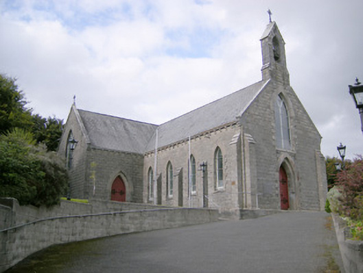 Saint Colman's Catholic Churchchurch/chapel · 1.0 mi
 St. Luke's WellSpring · 3.3 mi
 St. Kieran's WellSpring · 4.6 mi
 Foynes Flying Boat & Maritime MuseumMuseum · 4.7 mi
 Monterey CypressMonterey Cypress · 4.7 mi
 Foynes Island ViewpointViewpoint · 4.9 mi
 Gammarel PointHeadland · 5.1 mi