What is recorded here
Dooncaha holds a circular earthen ringfort on an east-facing slope, its twenty-six-metre bank now tangled in overgrowth and absorbed into a field boundary. A narrow gap at the northeast opens onto a shallow depression stretching sixteen metres across the pasture, suggesting an entrance or drainage channel rather than a random hollow. The site may have served as a dwelling, a boundary marker, or a place of ritual, but its original purpose has faded into the grass and soil. What remains is a quiet circle, partially hidden, still shaping the land around it.
In pasture, on E-facing hill slope. Circular area (25.9m N-S; 26m E-W) enclosed by earthen bank (int. H 0.5m; ext. H 1.8m); parts of bank covered by dense overgrowth. Bank has been incorporated into field boundary NW->N. At N a recently cut drain exaggerates external bank height. Field boundary skirts bank NNE->SE; enclosure occupies NE corner of field. Gap in bank at NE (W 1.8m) leads into shallow linear depression (D 0.65m; W 1m) which extends on a rough NE/SW axis across interior for 16m before fading out. Otherwise interior level and under pasture.
Compiled by: Denis Power
Date of upload: 26 August 2011
The monument record does not grant public access. Check the route and ask the landowner before entering private land.
- What survives
- Recorded monument
Places near here
 Shanid Househouse · 1008 yd
 Shanid Castle (in ruins)Castle, Anglo-Norman masonry castle · 1250 yd
 Shanid CastleCastle · 1251 yd
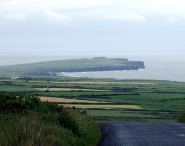 Mound in DooncahaMound · 1374 yd
 Waterpark Housecountry house · 1692 yd
 Mound in Corbally (shanid By.)Mound · 1.1 mi
 St. Luke's WellSpring · 3.9 mi
 TobercloonaghSpring · 4.4 mi
 Monterey CypressMonterey Cypress · 4.5 mi
 Foynes Flying Boat & Maritime MuseumMuseum · 4.8 mi
 Foynes Island ViewpointViewpoint · 4.9 mi
 Prospect HillMountain / peak · 5.0 mi