What is recorded here
Dooncaha holds a circular earthen ringfort on a gentle east-facing slope, its bank rising seventy-five centimetres above a shallow external fosse. The south-west dip marks a genuine entrance rather than animal damage, opening onto interior ground that still slopes gently toward the river valley. Cattle graze above the buried boundary today, but the shape resists farming because human hands built it to exclude, protect or belong somewhere visible.
In pasture, on gentle E-facing slope of river valley. Circular area (21.2m N-S; 20m E-W) enclosed by earthen bank, with external fosse (Wth 5.5m; D 0.5m) S->N. Bank (int. H 0.4m; ext. H 0.75m), best preserved NE->SE, becomes scarp-like on E side. Dip in bank at SSW (Wth 3.5m). Interior, under pasture, slopes down very gently to E.
Compiled by: Denis Power
Date of upload: 26 August 2011
The monument record does not grant public access. Check the route and ask the landowner before entering private land.
- What survives
- Recorded monument
Places near here
 Mound in Corbally (shanid By.)Mound · 459 yd
 Slab-lined burial in MoigSlab-lined burial · 638 yd
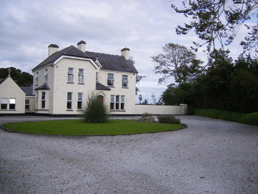 The Presbyteryhouse, presbytery/parochial/curate's house · 1224 yd
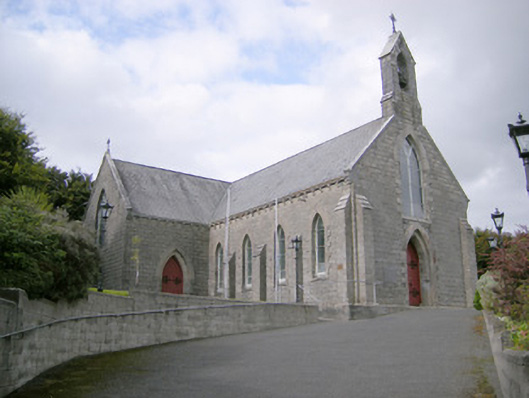 Saint Colman's Catholic Churchchurch/chapel · 1458 yd
 Shanid CastleCastle · 1.2 mi
 Shanid Castle (in ruins)Castle, Anglo-Norman masonry castle · 1.2 mi
 St. Luke's WellSpring · 3.1 mi
 St. Kieran's WellSpring · 4.2 mi
 Foynes Flying Boat & Maritime MuseumMuseum · 4.7 mi
 Foynes Island ViewpointViewpoint · 4.8 mi
 Monterey CypressMonterey Cypress · 4.9 mi
 Gammarel PointHeadland · 5.1 mi