What is recorded here
Doonavanig held a forty-three metre earthen ring before carts and ploughs erased it. The land still remembers the shape even though grass and soil forgot the name.
In pasture. Depicted as hachured circular enclosure (diam. c. 43m) on 1934 OS 6-inch map, truncated by laneway to S. Levelled; no visible surface trace.
The above description is derived from the published 'Archaeological Inventory of County Cork. Volume 2: East and South Cork' (Dublin: Stationery Office, 1994). In certain instances the entries have been revised and updated in the light of recent research.
Date of upload/revision: 14 January 2009
The monument record does not grant public access. Check the route and ask the landowner before entering private land.
- What survives
- Recorded monument
Places near here
 View Cork HarbourViewpoint · 465 yd
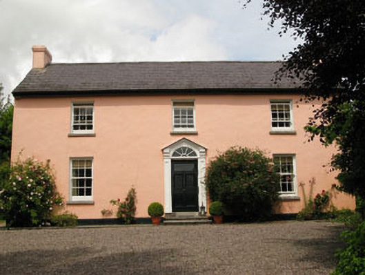 Robert's Cove Househouse · 1455 yd
 sign postsign post · 1490 yd
 Burial in RingabellaBurial · 1700 yd
 Fulacht fia in BritfieldstownFulacht fia · 1.1 mi
 Fountainstown BeachBeach / strand · 1.3 mi
 PoughgormBeach / strand · 1.6 mi
 Crosshaven Tourist OfficeVisitor information · 3.2 mi
 Castle (in Ruins)Castle, tower house · 3.4 mi
 Castle (Site of)Castle, unclassified · 3.4 mi
 Coolmore WoodWood · 3.6 mi
 Curraghbinny WoodsForest · 3.8 mi