What is recorded here
Fairy fort / earthen ringfort in Doonally (carbury By., Drumcliff East Ed) is a fairy fort or earthen ringfort in Doonally (carbury By., Drumcliff East Ed), County Sligo, Ireland. The site occupies a slight rise in gently undulating pasture and contains a circular area 28m across. A 6m wide earth and stone bank encloses most of the circle, while a 4m wide berm and a second 2m wide bank continue the boundary along the southeast and northwest. A 2.4m wide break in the internal eastern bank marks the entrance, although quarrying removed a small portion at the northeast.
Situated on a very slight rise in gently undulating pasture. Slightly raised circular area (diam. 28m) enclosed by a bank of earth and stone (Wth 6m; int. H 0.3m). At the external foot of the bank is a berm (Wth 4m) and an external bank of earth and stone (Wth 2m; int. H 0.4m). The internal bank encloses the site on all sides except for a small portion quarried away at NE. Both the berm and the external bank enclose the site SE-NW and are not visible at ground level elsewhere. The original entrance is via a break (Wth 2.4m) in the internal bank at E.
Compiled by: Patrick F. O'Donovan
Date of upload: 21 April 2011
The monument record does not grant public access. Check the route and ask the landowner before entering private land.
- What survives
- Recorded monument
Places near here
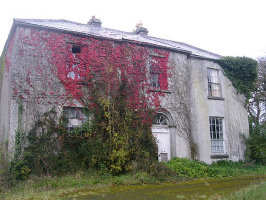 Doonally Househouse · 522 yd
 Enclosure in Doonally (carbury By., Drumcliff East Ed)Enclosure · 584 yd
 Wynnes FortFairy fort / earthen ringfort · 1303 yd
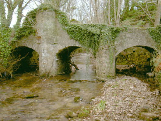 Fort Louisbridge · 1.3 mi
 European BeechEuropean Beech · 1.7 mi
 Copes MountainMountain / peak · 2.3 mi
 Famine MemorialMonument · 2.4 mi
 St. John's CathedralMemorial · 2.6 mi
 Annagh BayBay · 3.0 mi
 Kings MountainMountain / peak · 3.0 mi
 Annagh IslandIsland · 3.1 mi
 Half Moon BayBay · 3.2 mi