What is recorded here
Doocarrick holds a broad earthen ring where a waterlogged ditch still bites at the grass. The bank has thinned in places, yet the circular shape remains clear enough to walk around and imagine inside. A gap at the south may have been the entrance, pointing toward the life that once moved through it.
Raised circular area (int. diam. c. 41.8m) enclosed by a substantial but partly denuded earthen bank and a wide, deep, partially waterlogged fosse, infilled from ESE-S and enclosed by a low, possibly modern counterscarp bank from S-SW-W. Break in bank at S may represent original entrance.
The above description is derived from the published 'Archaeological Inventory of County Cavan' (Dublin: Stationery Office, 1995). In certain instances the entries have been revised and updated in the light of recent research.
Date of upload/revision: 22 December 2008
The monument record does not grant public access. Check the route and ask the landowner before entering private land.
- What survives
- Recorded monument
Places near here
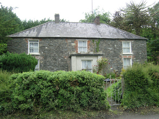 Mountain Viewhouse · 742 yd
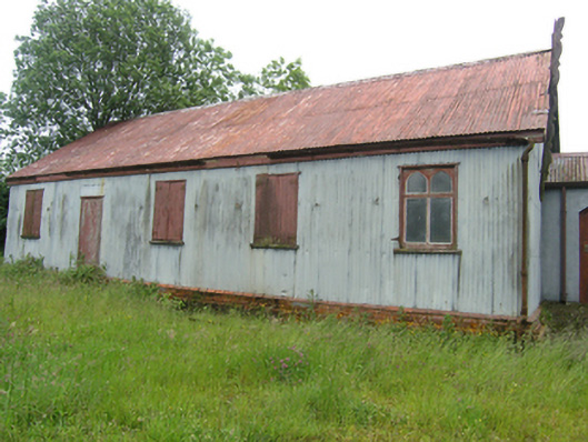 Tonaghbane Parochial Hallchurch hall/parish hall · 1007 yd
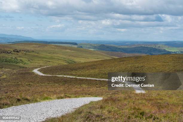 IndicatedFairy fort / earthen ringfort · 1013 yd
 Bawn in DrumsheilBawn · 1142 yd
 Drummury FortArchaeological place · 1407 yd
 CorickMountain / peak · 1708 yd
 Church WoodForest · 1746 yd
 Whitelough PlantationsForest · 1.0 mi
 BarraghMountain / peak · 1.0 mi
 Site of Old CastleCastle, unclassified · 1.7 mi
 Giant's GraveArchaeological place · 2.5 mi
 Graveyard in Drumgoon (clankee By.)Graveyard · 4.9 mi