What is recorded here
Donaghmore holds a broken fairy fort where human hubris met divine warning. A man struck the ground with a spade, expecting treasure, but blood and water flooded the hole instead. He fled empty-handed, leaving the earth to keep its secrets. The ring remains beside the valley road, waiting for patience rather than greed.
On a slight knoll, land slopes gently to WNW, but drops steeply to E before rising again. The knoll is on a slight terrace on the slopes at the E side of the valley, with tillage to N, E and W and grassland S of field boundary which runs roughly E-W along S side of monument. There are good views to the N, S and W. A roughly circular raised platform (max. dims. 30m N-S; c. 22m surviving E-W: H 1.4m at E). The W side appears to have been levelled during land reclamation works, however, the monument has been excluded from tillage and is currently covered in scrub (Digitalglobe satellite imagery viewed 4 December 2018).
Compiled by: Jean Farrelly
Date of upload: 4 December 2018
The monument record does not grant public access. Check the route and ask the landowner before entering private land.
- What survives
- Recorded monument
Places near here
 Donaghmore Ringfort (rath)Archaeological place · 2 yd
 Enclosure in ConnahyEnclosure · 246 yd
 CastleCastle, unclassified · 682 yd
 Donaghmore WellSpring · 1035 yd
 Donaghmore Church (in ruins)Church · 1422 yd
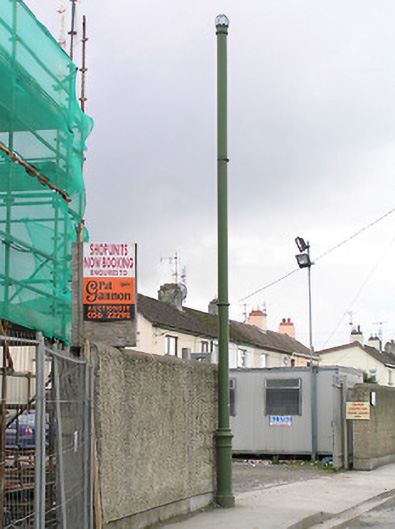 vent pipevent pipe · 1.3 mi
 Ballyragget Cas.Castle, tower house · 1.3 mi
 Anker's IslandIsland · 3.3 mi
 Jenkinstown ParkForest · 3.6 mi
 Graveyard in ThreecastlesGraveyard · 4.3 mi
 Turkey OakTurkey Oak · 4.5 mi
 Emma Jane Browne-ClaytonMemorial · 4.7 mi