What is recorded here
Fairy fort in Desert, County Cork: a circular earthen ringfort on a north-west slope below the hilltop, mapped in 1842 but no longer visible. It may have been a farmstead, a boundary marker, or a child’s runaway road; the earth forgot which.
In pasture, on NW-facing slope, just below hilltop. Circular enclosure on OS 6-inch map (1842). No visible surface trace.
The above description is derived from the published 'Archaeological Inventory of County Cork. Volume 1: West Cork' (Dublin: Stationery Office, 1992). In certain instances the entries have been revised and updated in the light of recent research.
Date of upload/revision: 14 January 2009
The monument record does not grant public access. Check the route and ask the landowner before entering private land.
- What survives
- Recorded monument
Places near here
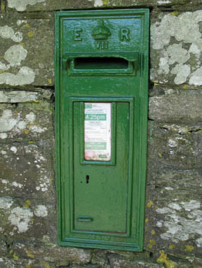 post boxpost box · 724 yd
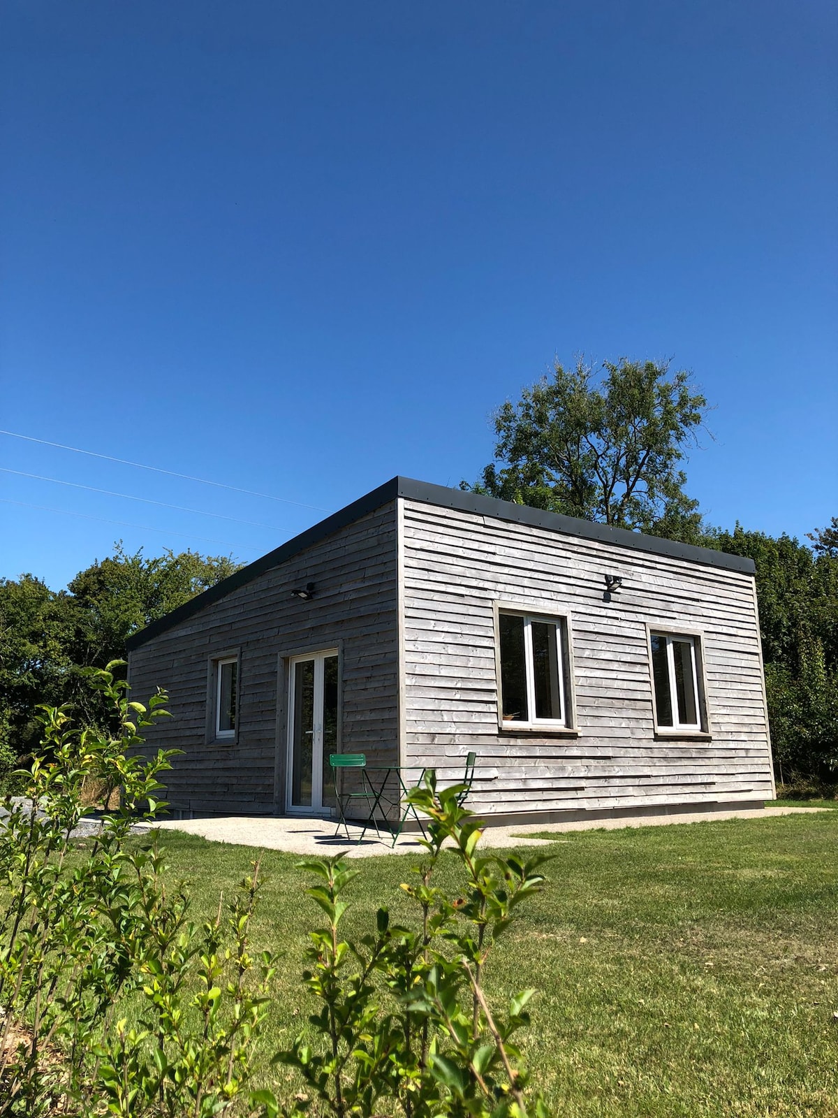 Enclosure in Desert (carbery East (e.d.) By.)Enclosure · 787 yd
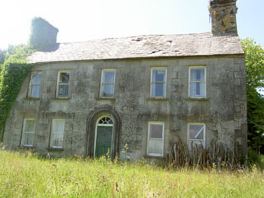 Ashgrove Househouse · 831 yd
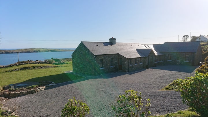 Hut site in Cahergal (ibane and Barryroe By., Templeomalus Par.)Hut site · 1032 yd
 West Cork Model Railway VillageHeritage attraction · 1058 yd
 Clonakilty HarbourBay · 1247 yd
 Clonakilty Tourist OfficeVisitor information · 1320 yd
 Clonakilty DistilleryHeritage attraction · 1338 yd
 Cloch na gCoillteMemorial · 1724 yd
 Castle Arundel (Site of)Castle, unclassified · 1.4 mi
 Garden WoodWood · 2.0 mi
 Battle of the Big Cross (1798) Memorial MonumentMonument · 2.0 mi