What is recorded here
Fairy fort in Derryshannoge, County Longford: a circular earthen ringfort on a natural rise above bog, marked ‘Fort’ on the 1837 Ordnance Survey map, now levelled and invisible at ground level. It may have been a stronghold, a boundary marker, or a place people avoided after dark; the bog kept it company while pasture and plough took it back. What remains is a absence with a shape, remembering the day the land still had edges.
On a natural rise in pasture surrounded on all sides by bog. Depicted as a circular enclosure with the designation 'Fort' on the 1837 ed. of the OS 6-inch map. The monument has been levelled and is not visible at ground level.
Compiled by: Patrick F. O'Donovan
Date of upload: 21 February 2012
The monument record does not grant public access. Check the route and ask the landowner before entering private land.
- What survives
- Recorded monument
Places near here
 StructureStructure, peatland · 304 yd
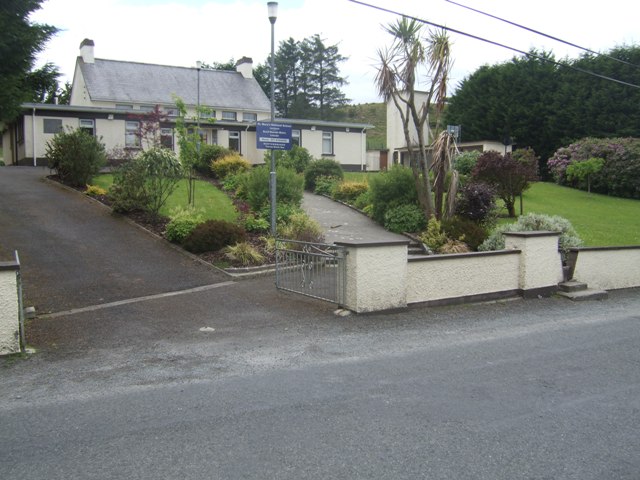 RoadRoad, class 3 togher · 338 yd
 Enclosure in DerryshannogeEnclosure · 441 yd
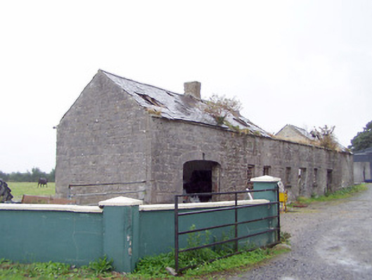 Cordara Houseoutbuilding · 1.4 mi
 Caltragh CastleCastle, unclassified · 2.3 mi
 White Sand WoodWood · 3.5 mi
 Rathcline CastleBawn · 3.6 mi
 Wild birdsVisitor information · 3.9 mi
 Priest's IslandIslet · 4.0 mi
 Culnagore WoodForest · 4.0 mi
 Commons North WalkVisitor information · 4.0 mi
 Ballyclare IslandIslet · 4.2 mi