
What is recorded here
On wet, low-lying ground. Depicted as a circular enclosure with the designation 'Fort' on the 1837 ed. of the OS 6-inch map. A subcircular area (c. 40m NE-SW; c. 36m NW-SE) enclosed by a wide low bank of earth and stone (Wth 7.8m; H 0.3-0.4m) except from ENE-E-SSE. A report in 1977 (SMR file) recorded traces of an external fosse, which are no longer visible. The monument is divided into unequal portions by a WNW-ESE stream, which has been widened and deepened and incorporated into the field-drainage system. Resultant spoil has been deposited within the interior. The original entrance is not recognisable and the monument is densely overgrown with scrub.
Compiled by: Patrick F. O'Donovan
Date of upload: 26 August 2011
The monument record does not grant public access. Check the route and ask the landowner before entering private land.
- What survives
- Recorded monument
Places near here
 RoadRoad, class 3 togher · 416 yd
 StructureStructure, peatland · 682 yd
 Cist in DerryglashCist · 1537 yd
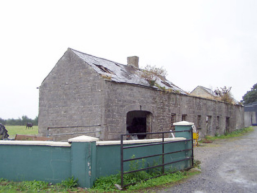 Cordara Houseoutbuilding · 1.3 mi
 Caltragh CastleCastle, unclassified · 2.4 mi
 White Sand WoodWood · 3.3 mi
 Rathcline CastleBawn · 3.3 mi
 Wild birdsVisitor information · 3.6 mi
 Commons North WalkVisitor information · 3.8 mi
 Ballyclare IslandIslet · 3.9 mi
 Priest's IslandIslet · 4.0 mi
 Culnagore WoodForest · 4.1 mi
Other information
Photo: Credit not shown in the picture search · Rights wording not checked; contact us if this picture should be removed