What is recorded here
Situated on flat pasture with good views in all directions. Described by Wheeler (OPW 1955) as a circular area (approx. diam. 33m) enclosed by a poorly preserved bank (H 2m) with external fosse (Wth 5m; D 0.7m). The site was levelled during a land reclamation scheme in 1955.
The above description is derived from 'The Archaeological Inventory of County Tipperary. Vol. 1 - North Tipperary' compiled by Jean Farrelly and Caimin O'Brien (Dublin: Stationery Office, 2002). In certain instances the entries have been revised and updated in the light of recent research.
Date of upload/revision: 22 September 2008
The monument record does not grant public access. Check the route and ask the landowner before entering private land.
- What survives
- Recorded monument
Places near here
 Whitstone Househouse · 876 yd
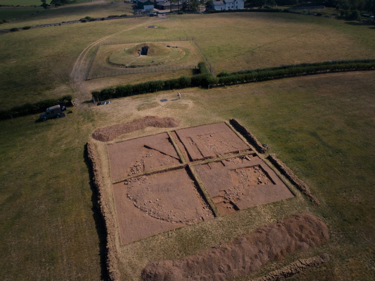 Ardcroney Burial MoundArchaeological place · 1423 yd
 Fulacht fia in BallythomasFulacht fia · 1646 yd
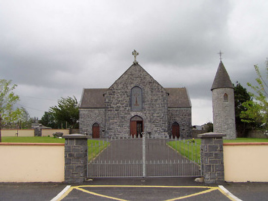 Saint Flannan's Catholic Churchchurch/chapel · 1.1 mi
 Castle (in Ruins)Castle, tower house · 1.1 mi
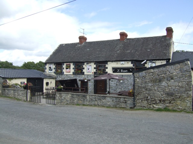 Carney CastleCastle · 1.2 mi
 Knigh HillMountain / peak · 2.8 mi
 Ballycapple WoodForest · 3.4 mi
 Carrickboy WoodForest · 3.6 mi
 James Devaney MemorialMemorial · 3.8 mi
 Goose IslandIslet · 4.9 mi
 MacDonagh HouseMemorial · 5.2 mi