What is recorded here
Derrynanool held a thirty-five-metre earthen ring on a spur above the River Funshion, visible on maps from 1842 to 1935 before ploughing erased it. People called it a fairy fort, perhaps because the strange circular shape invited more imagination than history. It may have housed families, stored grain or marked a boundary, but the earth forgot the exact purpose. The forgoer loses nothing when creativity fills the gap.
In pasture, on natural spur facing SSE over River Funshion. Depicted as hachured circular enclosure (diam. c. 35m) on 1842, 1905 and 1935 OS 6-inch maps. Levelled; no visible surface trace.
The above description is derived from the published 'Archaeological Inventory of County Cork. Volume 4: North Cork' (Dublin: Stationery Office, 2000). In certain instances the entries have been revised and updated in the light of recent research.
Date of upload/revision: 14 January 2009
The monument record does not grant public access. Check the route and ask the landowner before entering private land.
- What survives
- Recorded monument
Places near here
 IndicatedHouse, vernacular house · 639 yd
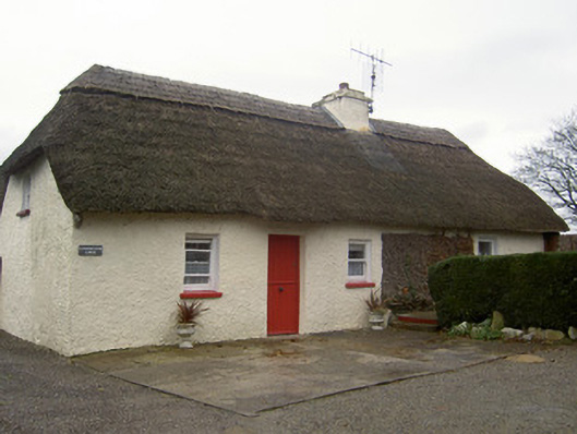 Cloghleafin Lodgehouse · 649 yd
 Grave YardGraveyard · 1225 yd
 Fulacht fia in Cloghleafin (condons and Clongibbon By., Marshalstown Par.)Fulacht fia · 1235 yd
 CastleCastle, unclassified · 1521 yd
 Carriganoura Castle (in Ruins)Castle, tower house · 1.3 mi
 Kilclooney WoodWood · 2.2 mi
 Flat cemetery in Ballyenahan NorthFlat cemetery · 3.0 mi
 Mitchelstown Town MapVisitor information · 3.5 mi
 John MandevilleMemorial · 3.5 mi
 CarrigeenamronetyMountain / peak · 4.3 mi
 FlagCave · 4.4 mi