What is recorded here
Fairy fort in Derrynamanagh, County Galway: a subcircular earthen ringfort about seventy metres east-west and sixty north-south on a north-facing grassland slope near the Raford River. Its bank, outside ditch, steep inner scarp and southwest causewayed entrance still mark a place where people kept animals, stored things or stood apart from ordinary traffic. Local names call it a fairy fort, which is a story rather than a proof, but the shape is not subtle: a made circle on a hillside, waiting to be remembered as human before it is dismissed as mystical.
On N-facing slope of a hill in grassland c. 75m S of the Raford River. Subcircular rath (E-W c. 70m, N-S c. 60m), in fair condition, defined by a bank and external fosse. From SW through W to N a scarp forms the enclosing element. Causewayed entrance at SW. A field bank cuts the fosse at N.
The above description is derived from the published 'Archaeological Inventory of County Galway Vol. II - North Galway'. Compiled by Olive Alcock, Kathy de hÓra and Paul Gosling (Dublin: Stationery Office, 1999).
Date of upload: 05 August 2010
The monument record does not grant public access. Check the route and ask the landowner before entering private land.
- What survives
- Recorded monument
Places near here
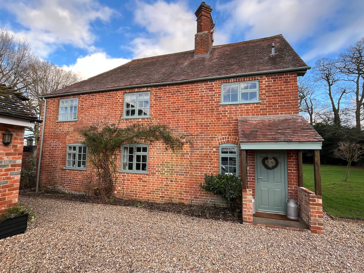 Enclosure in Beech HillEnclosure · 1037 yd
 Enclosure in StreamsfordEnclosure · 1229 yd
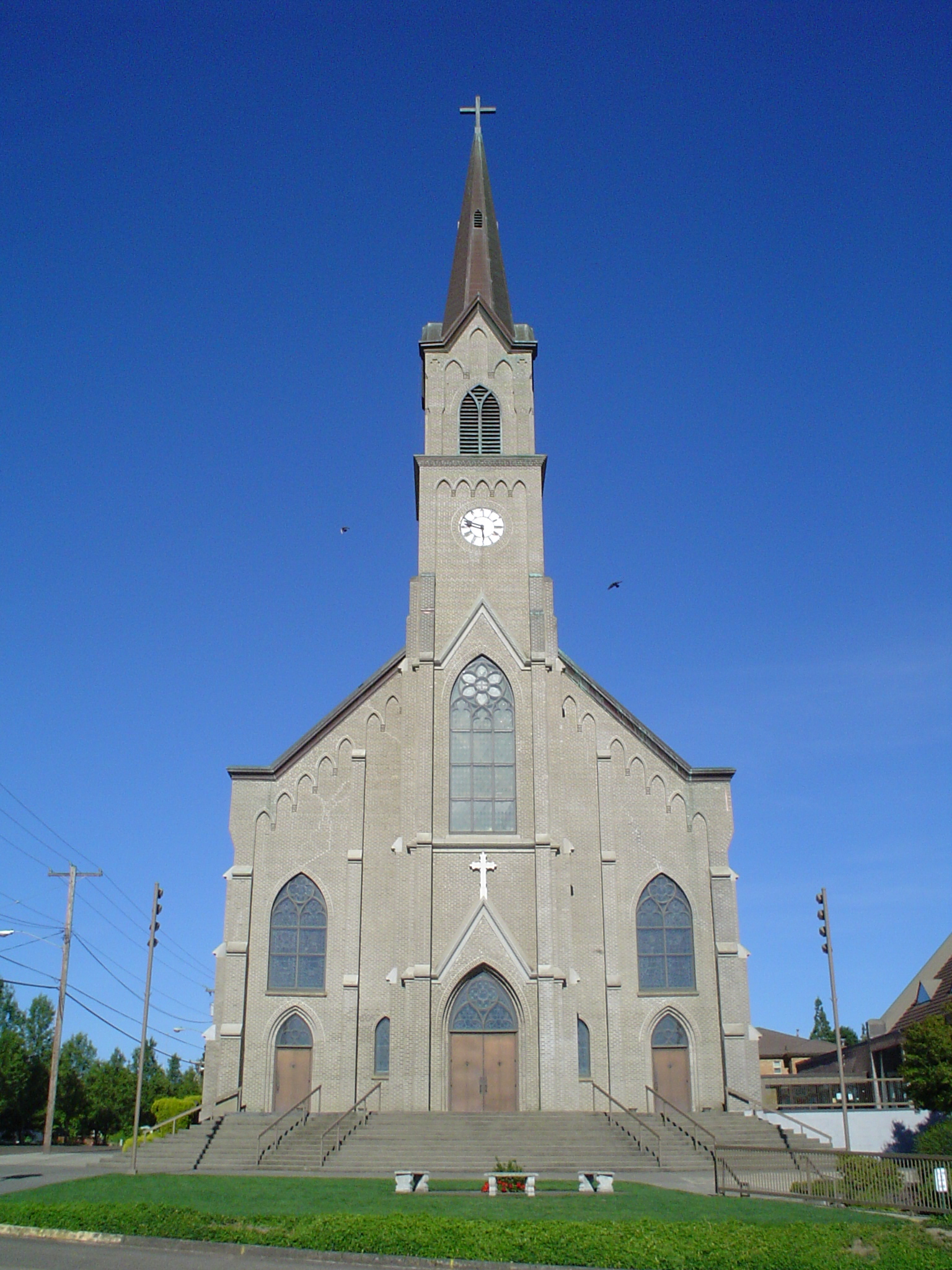 St. Marys Catholic ChurchChurch · 1432 yd
 Quarry in CappaghnanoolQuarry · 1665 yd
 Woodlawn WoodsForest · 2.7 mi
 European Crab AppleEuropean Crab Apple · 3.1 mi
 Galboley Castle (in ruins)Castle, unclassified · 3.9 mi
 Turoe StoneHeritage attraction · 4.1 mi
 Site of Lisnamoltaun CastleCastle, unclassified · 4.2 mi
 Kilconnell AbbeyHeritage attraction · 6.5 mi
 Barrack IslandIslet · 8.0 mi
 Middle IslandIslet · 8.0 mi