What is recorded here
Fairy forts are earthen ringforts, ancient human places misnamed by later belief. In Derrynacrit, that fort is no longer visible at ground level, though mapping showed a circular enclosure on a rise above wet pasture. The land may have swallowed the ridge, or people may have leveled it for grass. Either way, the fort still exists in the shape of the place, waiting to be remembered.
On a rise in wet, low-lying pasture. Depicted as a circular enclosure with the designation 'Fort' on the OS Fair Plan and the 1837 ed. of the OS 6-inch map. Not visible at ground level.
Compiled by: Patrick F. O'Donovan
Date of upload: 26 August 2011
The monument record does not grant public access. Check the route and ask the landowner before entering private land.
- What survives
- Recorded monument
Places near here
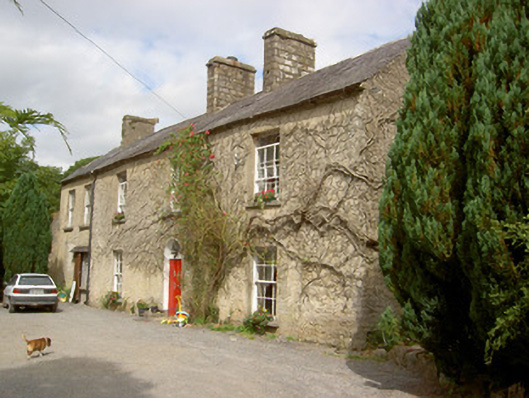 The Hermitagehouse · 1041 yd
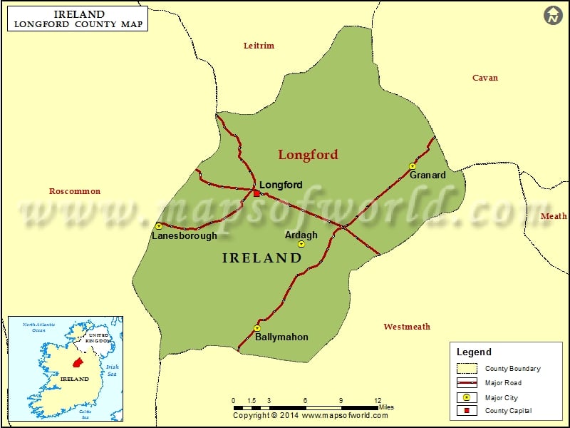 IndicatedEnclosure · 1198 yd
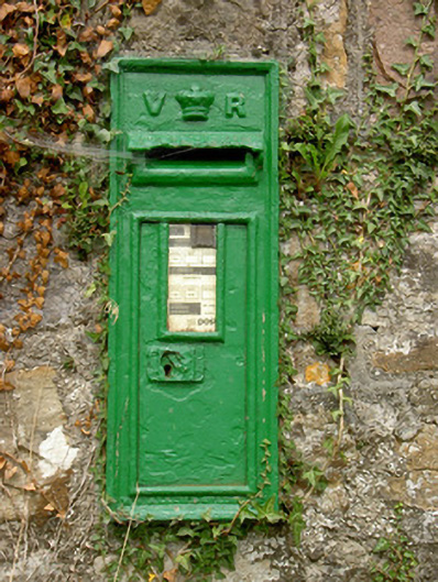 post boxpost box · 1303 yd
 CahirFairy fort / ringfort · 1.4 mi
 CastleCastle, unclassified · 2.0 mi
 Native Woodland Trust: Farnaght ReserveWood · 3.3 mi
 Bawn in Castleforbes DemesneBawn · 3.4 mi
 Lebanon CedarLebanon Cedar · 3.5 mi
 Derrinch IslandIslet · 4.0 mi
 Long IslandIslet · 4.0 mi
 St. Barry's WellSpring · 4.5 mi
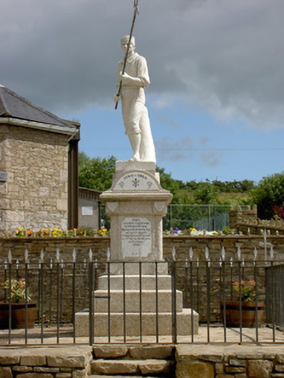 1798 Monumentmonument · 5.1 mi