What is recorded here
Fairy fort / earthen ringfort in Derrymaquirk is a fairy fort or earthen ringfort in Derrymaquirk, County Roscommon, Ireland. The D-shaped grass and rush-covered area measures 27m north-south and 18m east-west at the crest of a low rise overlooking the Boyle River. A scarp 0.5-1.5m high defines the west and north sides, while the east side is truncated by the outer bank and fosse of another rath. No visible fosse or original entrance remains.
At the crest of a low E-W rise overlooking a SW-NE section of Boyle River, which is c. 350m to the N. D-shaped grass and rush-covered area (dims 27m N-S; 18m E-W) defined by a scarp (H 0.5-1.5m) SE-W-NW which is incorporated into a field bank NW-NE. There is no visible fosse or identifiable original entrance. The monument is truncated by the outer bank and outer fosse of rath (RO005-030001-) at E.
Compiled by: Michael Moore
Date of upload: 24 August 2010
The monument record does not grant public access. Check the route and ask the landowner before entering private land.
- What survives
- Recorded monument
Places near here
 Boyle NunneryChurch · 708 yd
 IndicatedFairy fort / earthen ringfort · 797 yd
 CastleCastle, unclassified · 1.2 mi
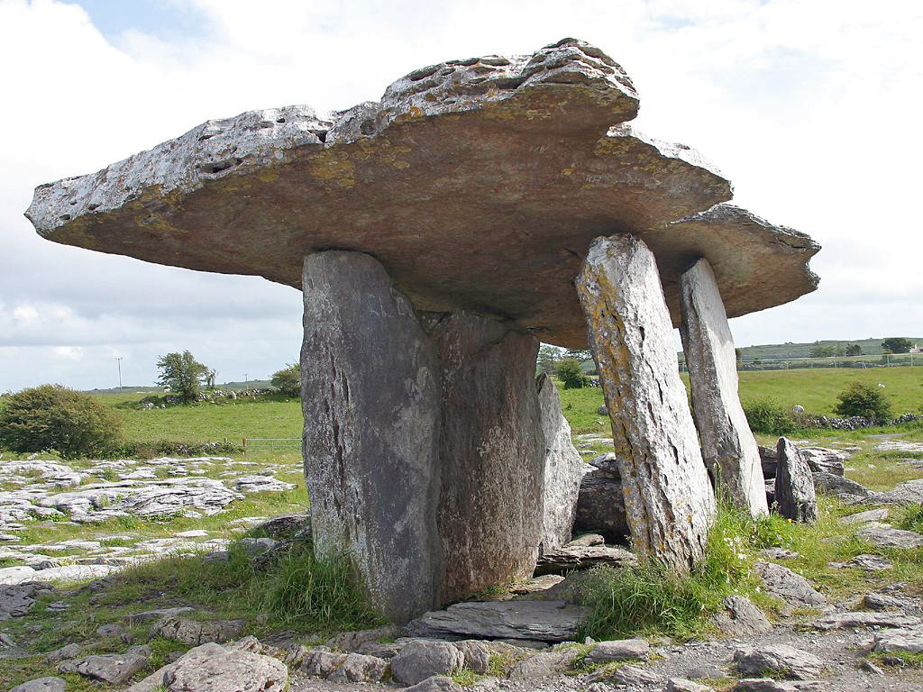 Drumanone DolmenArchaeological place · 1.2 mi
 Religious houseReligious house, unclassified · 2.1 mi
 Curlew MountainsMountain / peak · 2.2 mi
 Inch IslandIslet · 2.3 mi
 Castle (in Ruins)Castle, unclassified · 2.5 mi
 Castle PointHeadland · 2.6 mi
 Crow IslandIslet · 2.8 mi
 Rose PointHeadland · 2.8 mi
 King William MemorialMonument · 3.3 mi