What is recorded here
Half a century of ploughing and neglect has swallowed the outer bank, leaving a thirty-metre circle of wet earth and shadow. The original entrance has vanished beneath modern causeways and levelled ground, denying even the memory of how people entered. What remains is a waterlogged ring, ancient and ambiguous, holding more absence than fact.
Raised circular area (int. diam. 31.5m) enclosed by a substantial earthen bank and a wide, deep, waterlogged fosse. An earlier description (OPW 1974) recorded a low outer bank which is no longer visible. Perimeter levelled from E-S-SSW. Large break in bank (Wth 12.1m) with accompanying causeway at NNW is probably modern. Original entrance not recognisable.
The above description is derived from the published 'Archaeological Inventory of County Cavan' (Dublin: Stationery Office, 1995). In certain instances the entries have been revised and updated in the light of recent research.
Date of upload/revision: 22 December 2008
The monument record does not grant public access. Check the route and ask the landowner before entering private land.
- What survives
- Recorded monument
Places near here
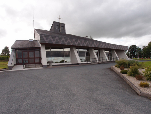 St Dymphna's Roman Catholic Churchchurch/chapel · 1476 yd
 Aghalackan EastMountain / peak · 1.0 mi
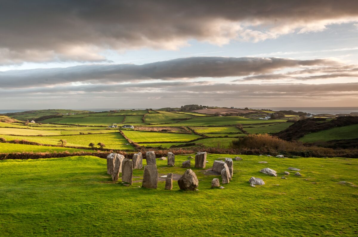 Stone CircleArchaeological place · 1.1 mi
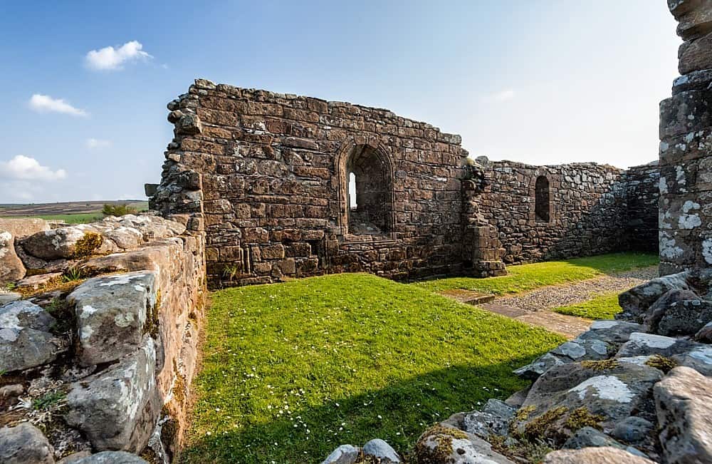 Enclosure in BanagherEnclosure · 1.1 mi
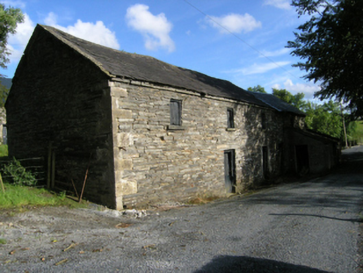 mill (water)mill (water) · 1.2 mi
 Ancient Order of Hibernians MemorialMemorial · 1.2 mi
 Aghalackan WestMountain / peak · 1.6 mi
 To The Memory of P.J. DukeMemorial · 2.3 mi
 Carricknagore RockNamed rock · 2.7 mi
 Killymeehan ForestForest · 2.9 mi
 Bawn in MoynehallBawn · 3.1 mi
 Derry ForestForest · 3.1 mi