What is recorded here
Fairy fort in Derryglash, County Longford: a circular earthen ringfort marked ‘Fort’ on the 1837 OS 6-inch map, now hidden beneath low-lying, poorly drained pasture. It may have stood as a boundary marker, a shelter, or a small dwelling place before the land changed around it. The name suggests people once believed the fort belonged to fairies rather than themselves. What is certain is that a ring was built there, recognised by surveyors, and then lost to grass and water.
In low-lying, poorly drained pasture. Depicted as a circular enclosure with the designation 'Fort' on the 1837 ed. of the OS 6-inch map. The monument is not visible at ground level.
Compiled by: Patrick F. O'Donovan
Date of upload: 26 August 2011
The monument record does not grant public access. Check the route and ask the landowner before entering private land.
- What survives
- Recorded monument
Places near here
 Cist in DerryglashCist · 211 yd
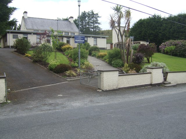 RoadRoad, class 3 togher · 760 yd
 StructureStructure, peatland · 792 yd
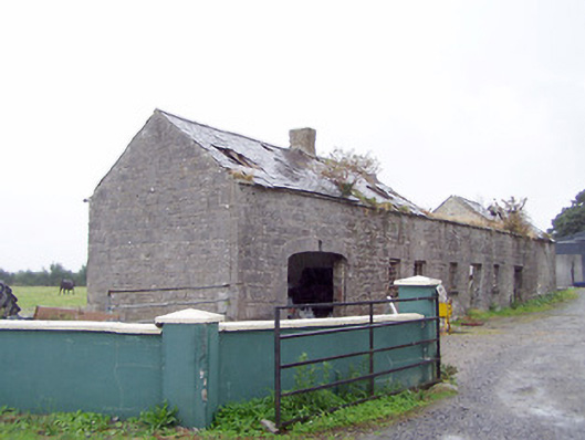 Cordara Houseoutbuilding · 1.2 mi
 Caltragh CastleCastle, unclassified · 1.7 mi
 Elfeet CastleCastle, Anglo-Norman masonry castle · 3.1 mi
 Culnagore WoodForest · 3.5 mi
 Priest's IslandIslet · 3.6 mi
 Elfeet BayBay · 3.6 mi
 Bush IslandIslet · 3.7 mi
 White Sand WoodWood · 3.8 mi
 Wild birdsVisitor information · 4.3 mi