What is recorded here
Fairy fort / earthen ringfort in Derrygeel: a 19.2m circular bank with external fosse and NE causeway entrance, since levelled in wet pasture, County Longford. A curving field boundary still mirrors its circuit. People may have lived inside, excluded water and marked territory; others may have avoided the place entirely. What remains is a shallow arc of earth and a name that refuses to explain itself.
In wet, low-lying pasture. A report in 1977 (SMR file) recorded a raised circular area (diam. 19.2m) enclosed by a bank of earth and stone with an external fosse. A break in the bank with an accompanying causeway at NE may have marked the original entrance. It has since been levelled. A curving field boundary mirrors its circuit from SE-S-NW. Elsewhere a low rise indicates its outline.
Compiled by: Patrick F. O'Donovan
Date of upload: 26 August 2011
The monument record does not grant public access. Check the route and ask the landowner before entering private land.
- What survives
- Recorded monument
Places near here
 RoadRoad, class 3 togher · 184 yd
 Enclosure in DerryshannogeEnclosure · 683 yd
 StructureStructure, peatland · 1299 yd
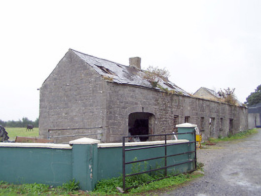 Cordara Houseoutbuilding · 1.7 mi
 Caltragh CastleCastle, unclassified · 2.8 mi
 White Sand WoodWood · 3.2 mi
 Rathcline CastleBawn · 3.3 mi
 Wild birdsVisitor information · 3.5 mi
 Commons North WalkVisitor information · 3.6 mi
 Ballyclare IslandIslet · 3.8 mi
 Goat's IslandIslet · 4.2 mi
 Culnagore WoodForest · 4.5 mi