What is recorded here
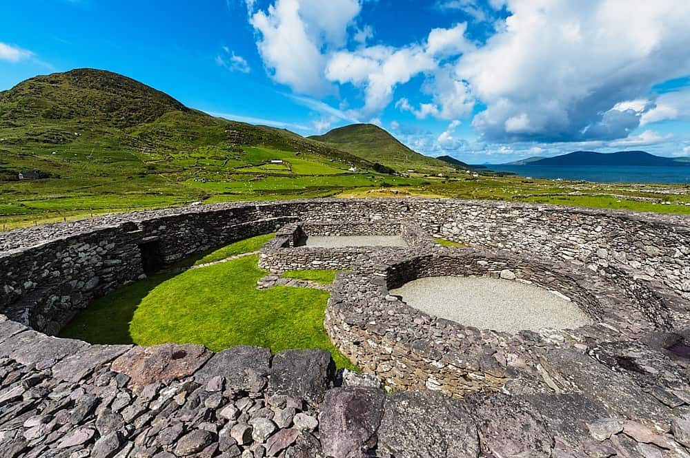
Half a metre of stone and a scarp of spilled earth mark a circular room in Derreen Wood, large enough for a family, a herdsman or a forgotten god. The western wall hides an underground passage, suggesting the fort was built to be entered, watched or escaped rather than merely admired. It has stood since before surveyors drew it in 1846, patient in pasture and wood, waiting for someone bold enough to go down the dark hole and ask what it remembers.
In undulating pasture, on an elevation in Derreen Wood. A roughly circular raised area (29.1m E-W; 26.5m N-S) defined by large horizontally laid stones (H 0.45m) W-NW and elsewhere by a badly eroded scarp. Some earthen material from the top of the scarp has spilled onto the area outside the rath. The surface of the interior is uneven. A Man-made underground passage (KE108-010001-) is situated in the W sector. The rath is indicated on the 1846 OS 6-inch map as a circular enclosure (diam. c. 25m).
The above description is derived from the published 'Archaeological Inventory of County Kerry. Volume I: South-West Kerry' (Dublin: Stationery Office, 2009). In certain instances the entries have been revised and updated in the light of recent research.
Date of upload: 30 May 2011
The monument record does not grant public access. Check the route and ask the landowner before entering private land.
- What survives
- Recorded monument
Places near here
 IndicatedHouse, vernacular house · 43 yd
 Mourlin Br.Bridge · 288 yd
 New Zealand broadleafNew Zealand broadleaf · 469 yd
 Japanese cedarJapanese cedar · 519 yd
 Man-made underground passage in Lauragh LowerMan-made underground passage · 539 yd
 Fairy fort / earthen ringfort in Lauragh LowerFairy fort / earthen ringfort · 697 yd
 KnockateeMountain / peak · 1.1 mi
 DrombohillyMountain / peak · 1.4 mi
 Crane IslandIslet · 2.0 mi
 Duck RockIslet · 2.0 mi
 DroppaCliff · 3.5 mi
 Ardgroom Pulleen LoopWalking route · 5.2 mi