What is recorded here
Davies recorded a vanished fort on the Dernaskeagh drumlin in 1946, but human hands or forgotten works may have erased it before measurement. The hill keeps its own shape while the fort disappears from memory. What is missing may have been ownership, boundary, or a warning not to build there. The land still holds the shape of the decision, even when the stones are gone.
Davies (ITA Survey 1946) recorded a tradition of a 'fort', long since levelled, on the summit of a drumlin hill in this townland. Not located.
The above description is derived from the published 'Archaeological Inventory of County Cavan' (Dublin: Stationery Office, 1995). In certain instances the entries have been revised and updated in the light of recent research.
Date of upload/revision: 22 December 2008
The monument record does not grant public access. Check the route and ask the landowner before entering private land.
- What survives
- Recorded monument
Places near here
 McCullagh's PlantationWood · 120 yd
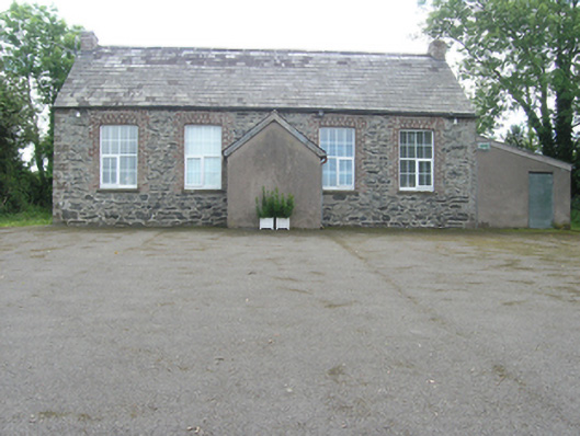 Rathkenny Orange HallOrange Hall · 395 yd
 Island WoodWood · 452 yd
 DernaskeaghMountain / peak · 513 yd
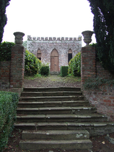 Rathkenny Housesummerhouse, walled garden · 565 yd
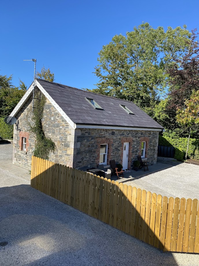 Enclosure in RakennyEnclosure · 1147 yd
 Fort HenryArchaeological place · 1272 yd
 Bawn in DrumsheilBawn · 1574 yd
 Site of Old CastleCastle, unclassified · 1.1 mi
 Giant's GraveArchaeological place · 1.2 mi
 CorickMountain / peak · 1.3 mi
 Giants GraveArchaeological place · 2.3 mi