What is recorded here
Dernakesh holds a broad oval of packed earth, thirty-eight metres long, with a missing entrance at the southeast and a boundary wall built across its northern edge. The fort has watched Cavan fields for centuries, outliving the hands that first shaped its bank. Modern digging has scarred the earth, but the oval remains clear enough to walk around and imagine the life that filled it.
Raised oval area (int. dims. c. 38m WNW-ESE; 26.5m NE-SW) enclosed by a substantial earthen bank and a fosse which has been infilled from NNW-N-ESE. Bank has been considerably disturbed by modern digging and modified and incorporated into field boundary from N-NE-E. Original entrance is at SE.
The above description is derived from the published 'Archaeological Inventory of County Cavan' (Dublin: Stationery Office, 1995). In certain instances the entries have been revised and updated in the light of recent research.
Date of upload/revision: 22 December 2008
The monument record does not grant public access. Check the route and ask the landowner before entering private land.
- What survives
- Recorded monument
Places near here
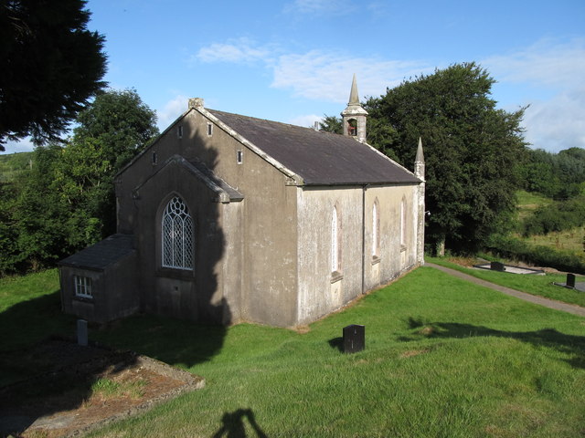 Dernakesh Church of Ireland Churchchurch/chapel · 374 yd
 St Patrick's Roman Catholic Churchchurch/chapel · 1586 yd
 Graveyard in Drumgoon (clankee By.)Graveyard · 1.0 mi
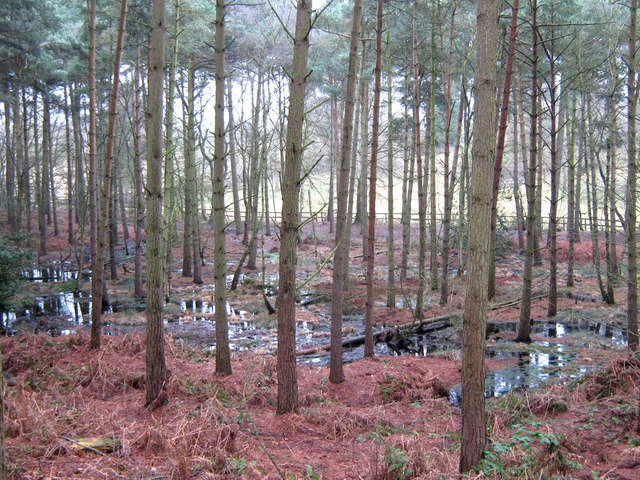 Lisdoagh Wet WoodlandWood · 1.5 mi
 IndicatedFairy fort / earthen ringfort · 1.5 mi
 DrumbinnisMountain / peak · 1.7 mi
 Drumlumman Wet WoodlandWood · 1.7 mi
 CornanurneyMountain / peak · 2.0 mi
 Ann's FortArchaeological place · 2.2 mi
 Small IslandIsland · 2.8 mi
 Giant's GraveArchaeological place · 2.9 mi
 CastleCastle, unclassified · 3.2 mi